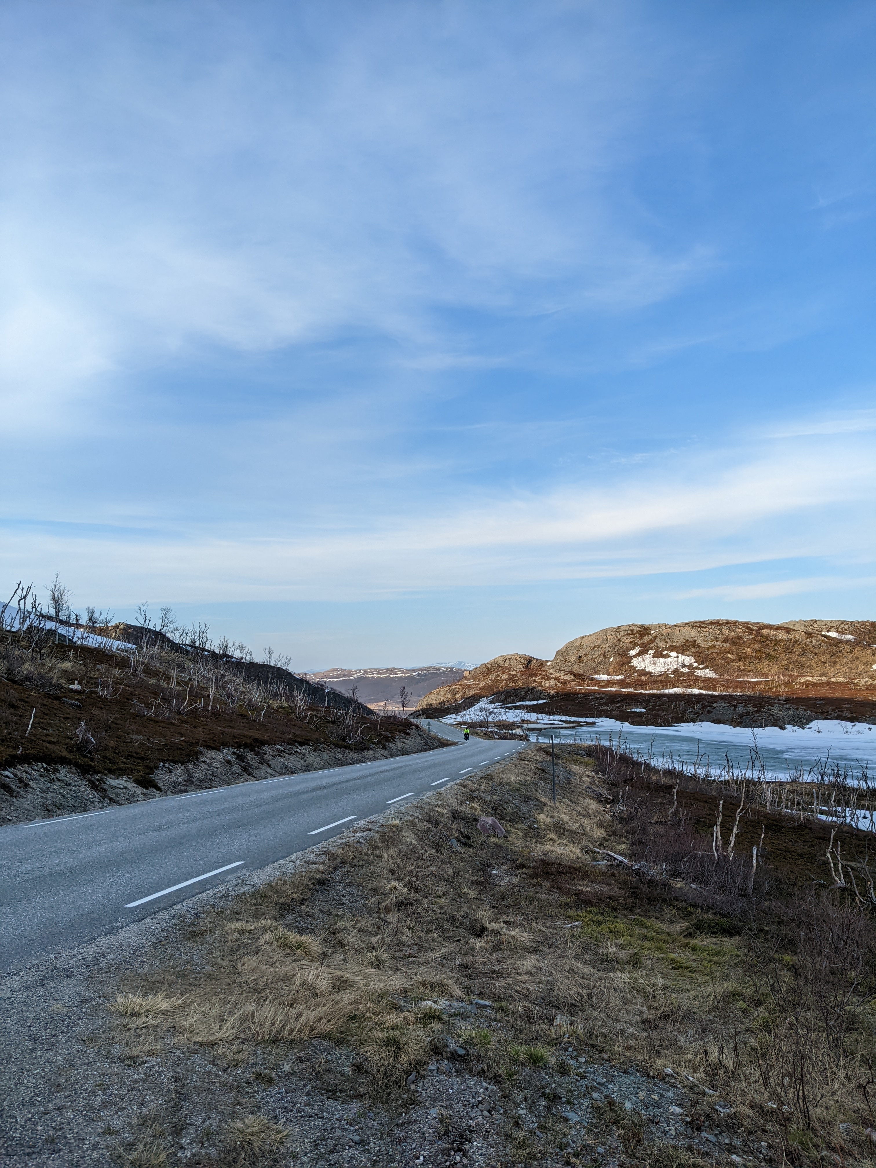
Leaving the E6 for the Tanafjord coast
Today was the warmest day of the trip so far, which was fortunate.
Bicycle repairs
We had a number of bike repairs to take care of, and it’s much less fun to fix things in the cold and damp.
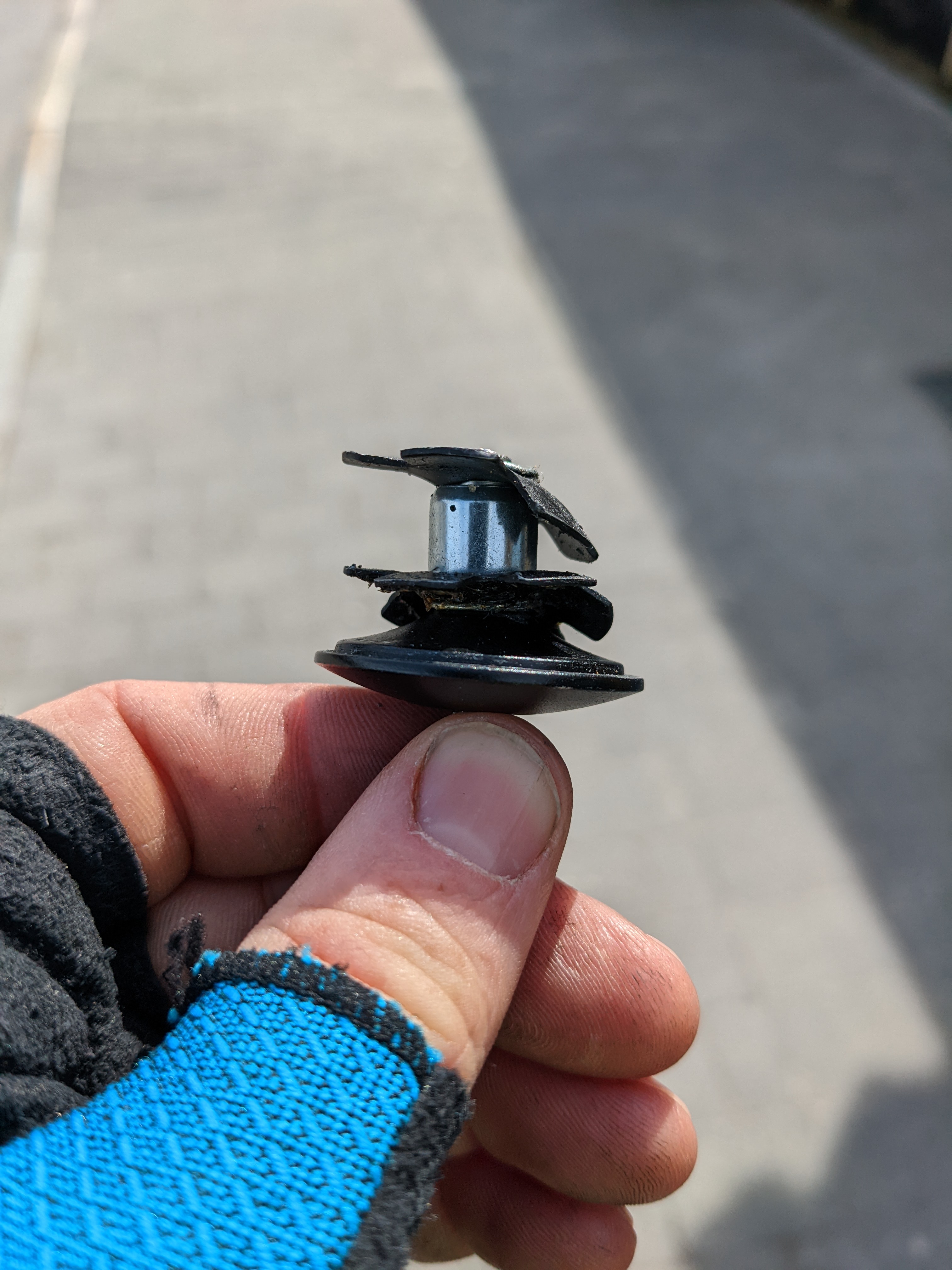
We found an unusually well-stocked Intersport just after crossing the Tanabru (the bridge over the river Tana). They had both the star-nut and the star nut press I needed to install it. Beyond that, they offered without asking to let me borrow the tool for the install. With a couple pallets of topsoil and a helping hand, I was able to remove the old star nut, and install the new one. (Do not try this at home - it’s generally best to simply press damaged star nuts far enough down the steerer tube that they aren’t in the way.)
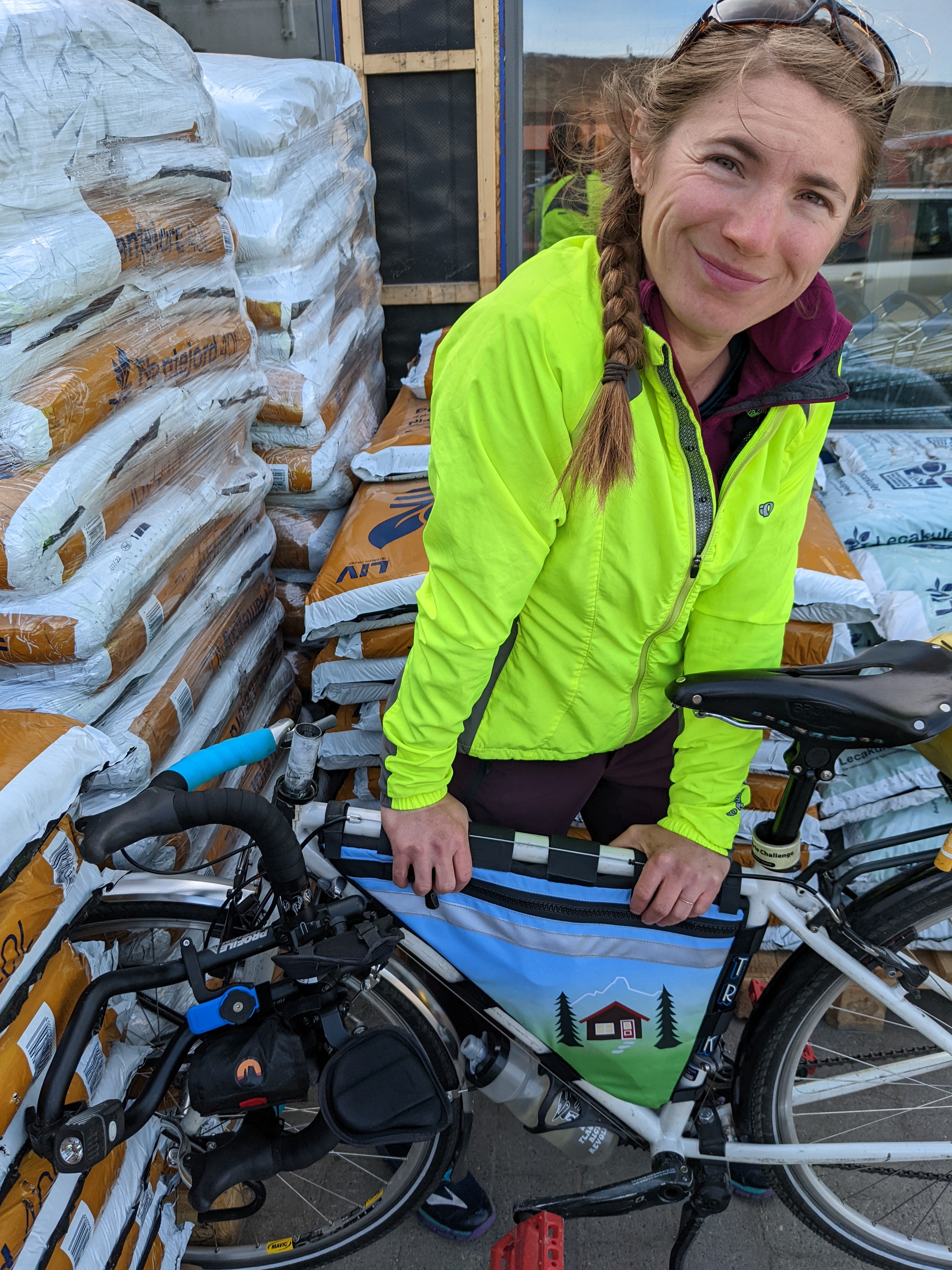
While I was mucking around with this thing and tweaking my brakes, H managed to:
- tune her panniers to reduce wobble
- tighten her handlebar bag holder
- re-align her kickstand
- true a brake rotor
Now we’re riding in style!
Good infrastructure
The Tana bru itself is lovely, in its harsh contemporary way. Lovelier still are the pair of bike/pedestrian ways across the bridge.
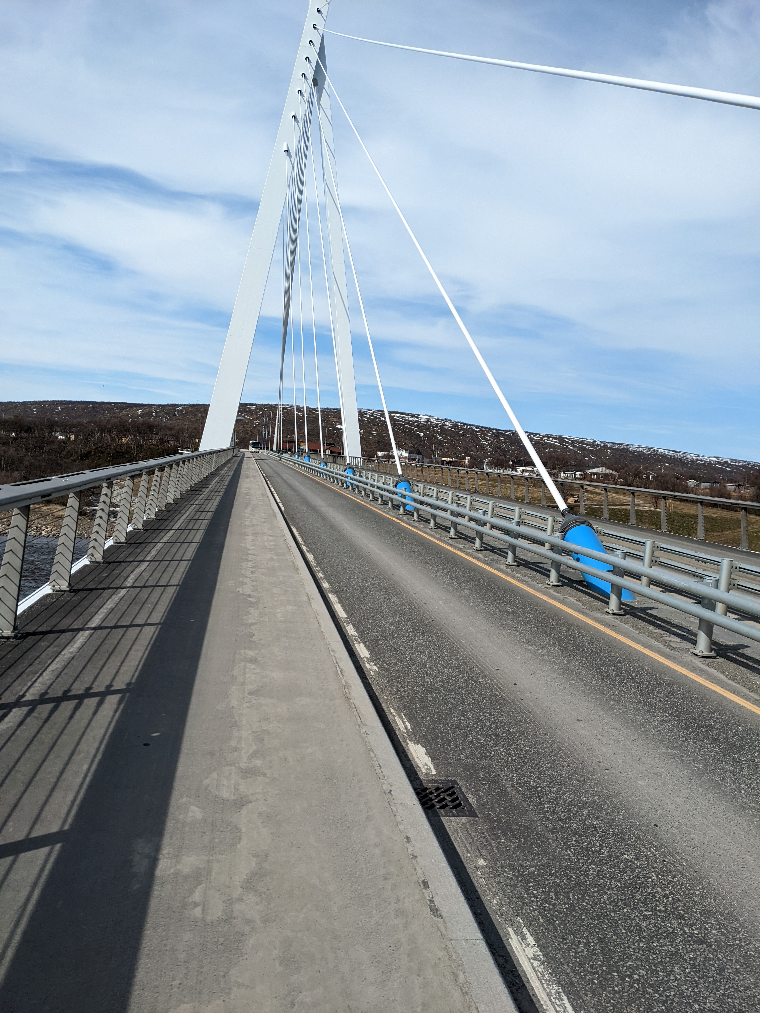
The town has a population small enough that they could probably all stand on the bridge at once (fewer than 800 people), which makes the accessibility of the infrastructure remarkable.
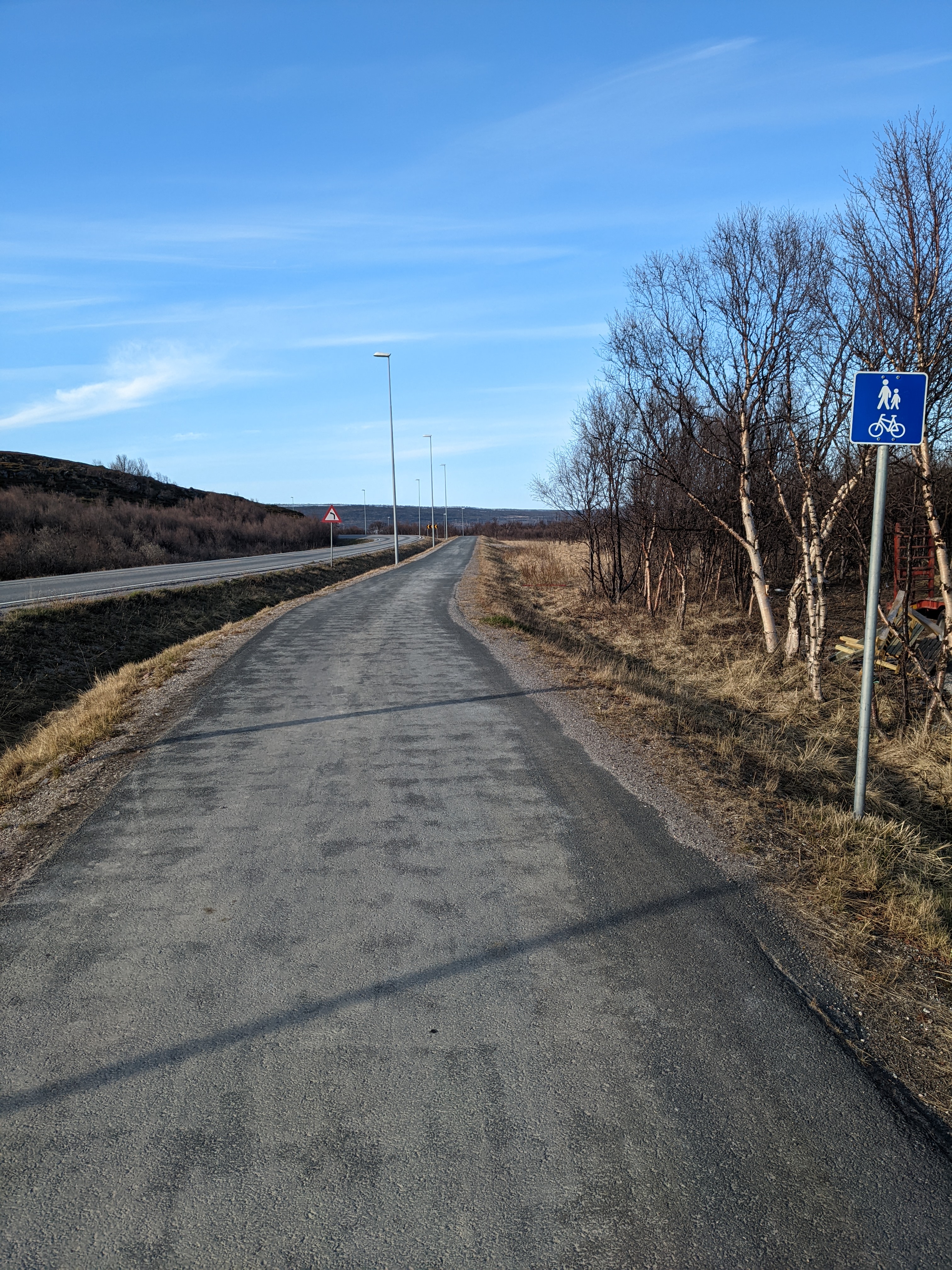
Almost every small town along the E6, in fact, has surprisingly good pedestrian infrastructure. This little roadlet from yesterday’s ride is a perfect example. As you reach the outskirts of most towns, you just turn off the road onto your very own open road.
Bicycles can be spotted sitting outside many houses, barns, and sheds. Often, they’re in the sad condition of outdoor bicycles, but most seem to get enough use that their tires are still inflated, and they probably do fine getting their owners to the grocery/kafe.
On-road off-road adventures
We rode through at least a kilometer of rough work site road today, where significant updates were being made. Sections had been recently blasted, and it looked like a new track was cut in at least one area. Other than a few wordless orange reflector signs, there was no traffic management, and there was a steady if sparse stream of cars, vans, campers, and semis passing through. Growing up in the US, it was my assumption that the types of management we use, lane closures, flaggers, traffic guides, etc would all be in use here too. Clearly, that wasn’t true.
Bumpy road aside, the experience was entirely positive. Vehicles were (as usual here) generally polite, and we even got a couple of enthusiastic waves from retirees up in camper cockpits. Does the assumption that people can behave like adults encourage that kind of behavior? Are there other cultural forces at work here? Is this just a weird Nord Norsk thing?
The ups and downs
We left the E6 for the Tanafjordveien north of Verangerbotn, and followed it around the fingers of the fjord’s southern coast. We began what seems to be a common pattern here. There tend to be settlements at the bottom (botn) of each fjord (or fjord arm), and few population centers in the high country.
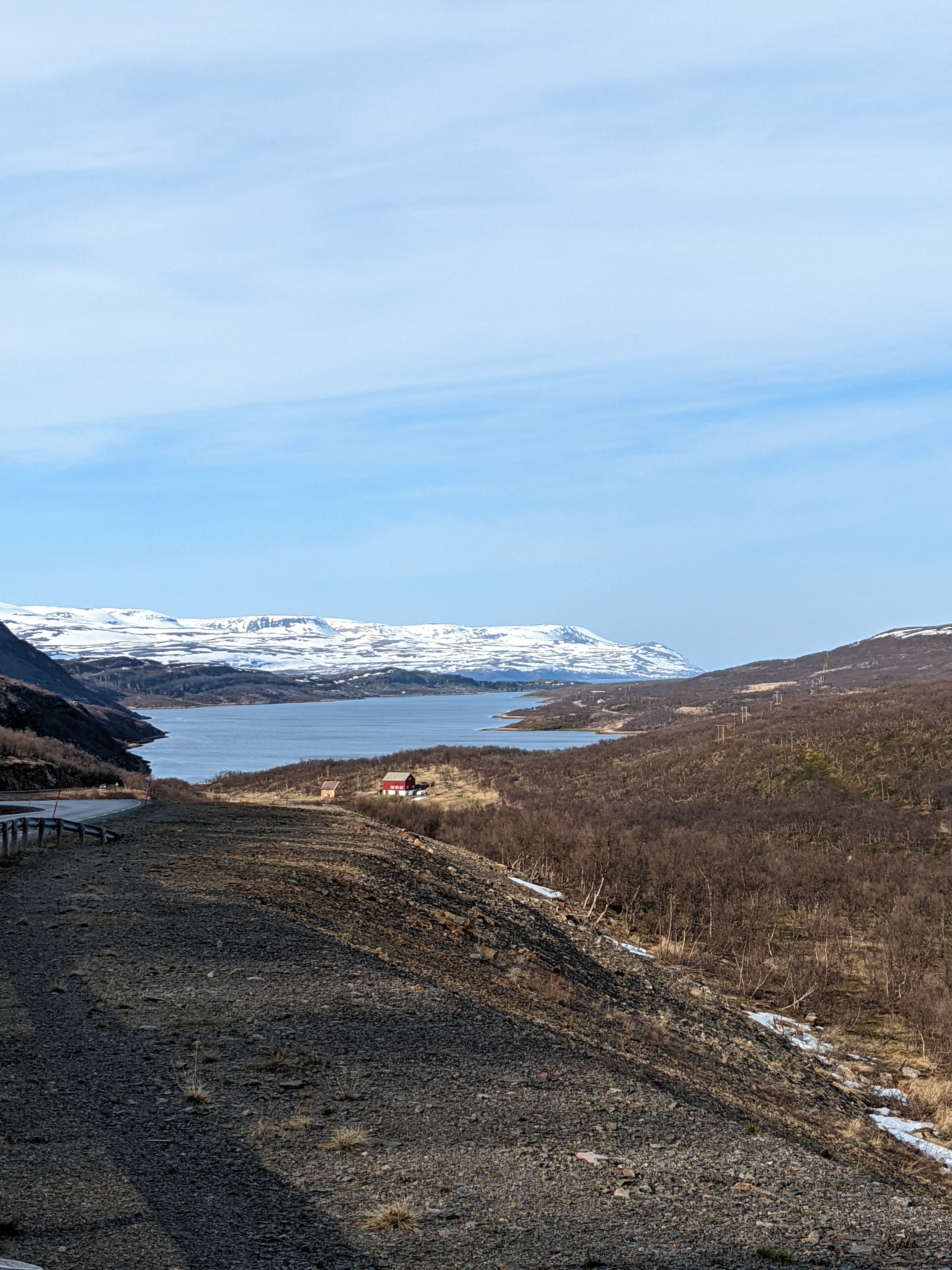
As a result, the road steps down to sea level at the fjord bottom, then climbs and descends to the next one. Most of these today were short hops, but tomorrow’s crossing from Vestertana to Ifjord will take about 20 miles, and will climb above 350 meters. to do it.
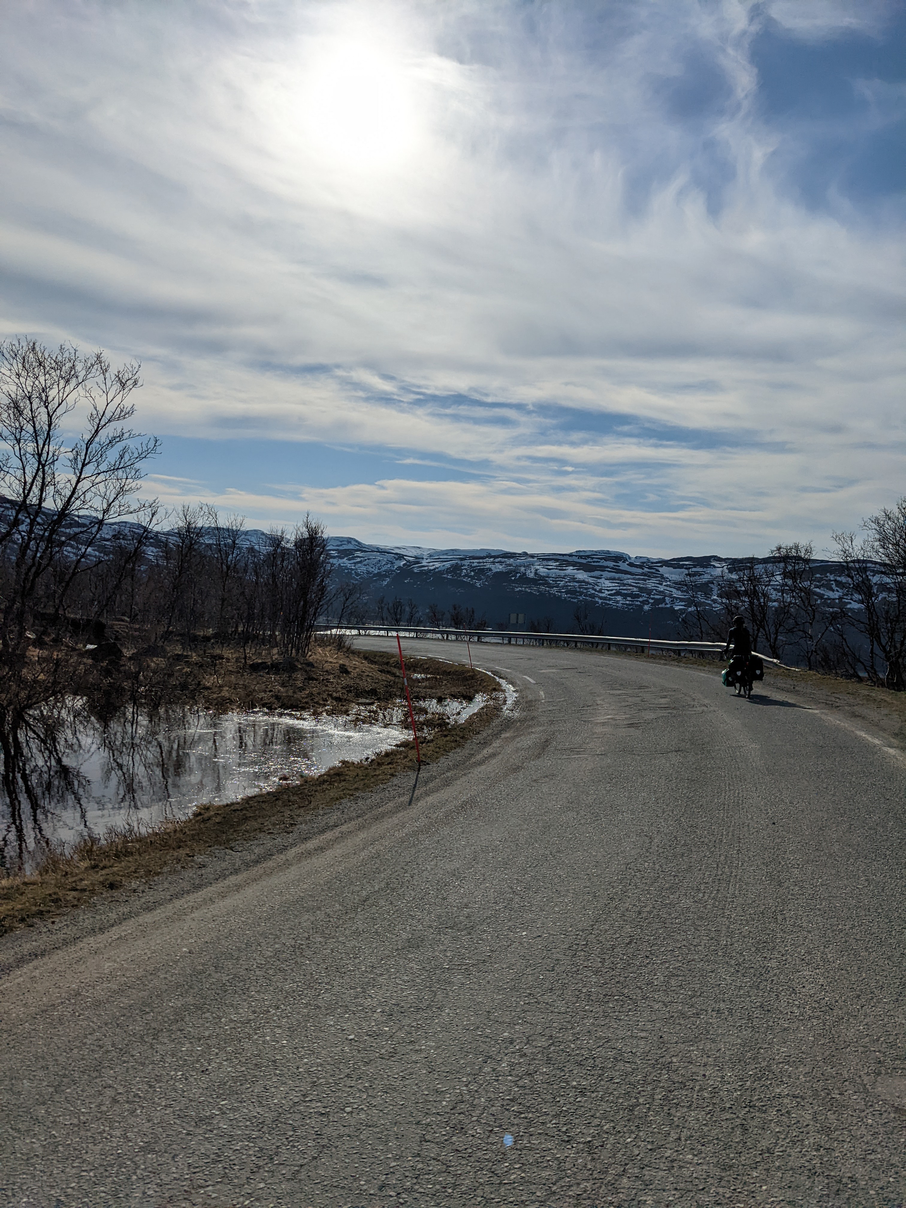
We had initially hoped to travel farther today, but between the late hour and the outlook on the high country, good camping seems unlikely in the upcoming miles.
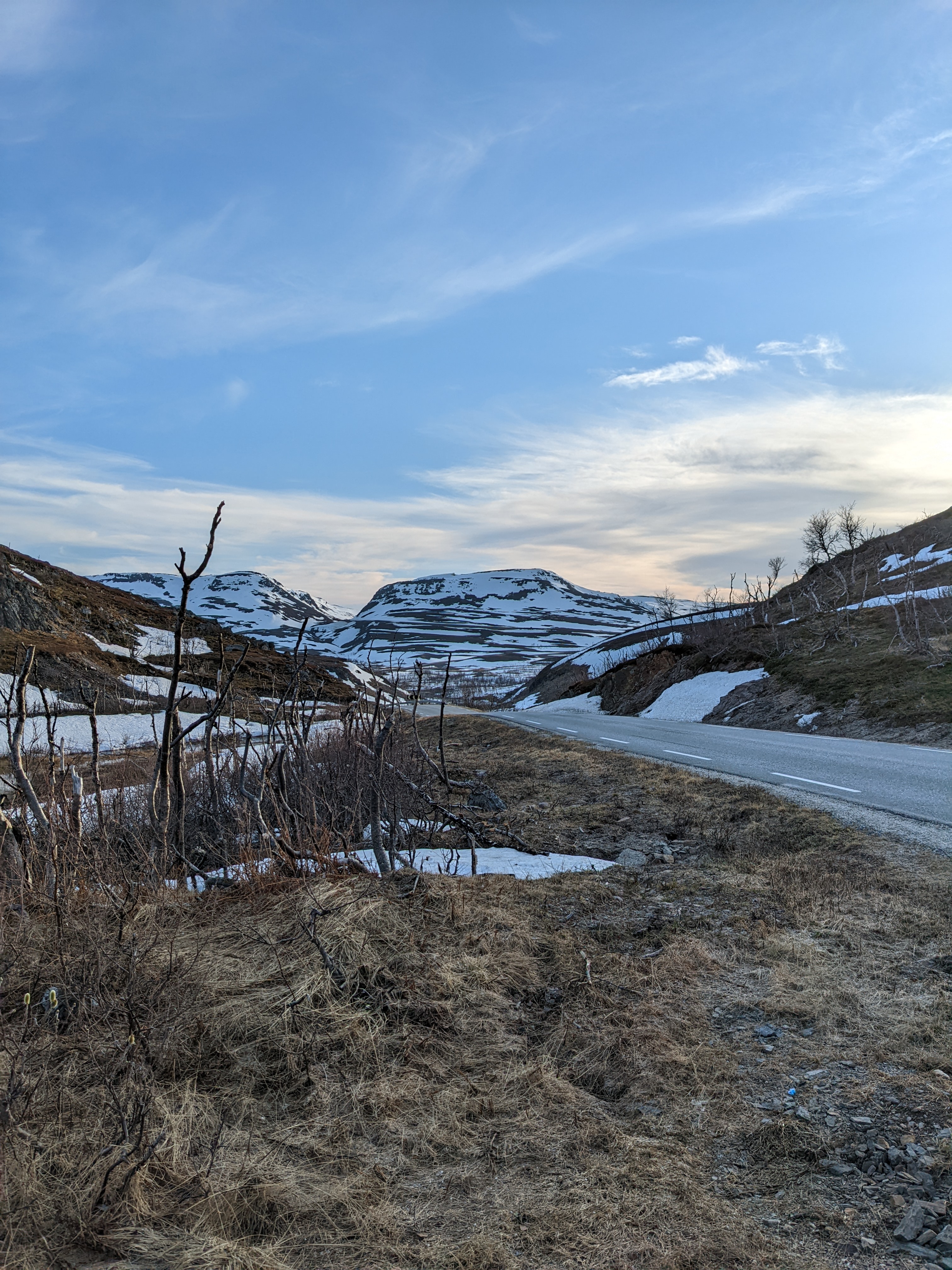
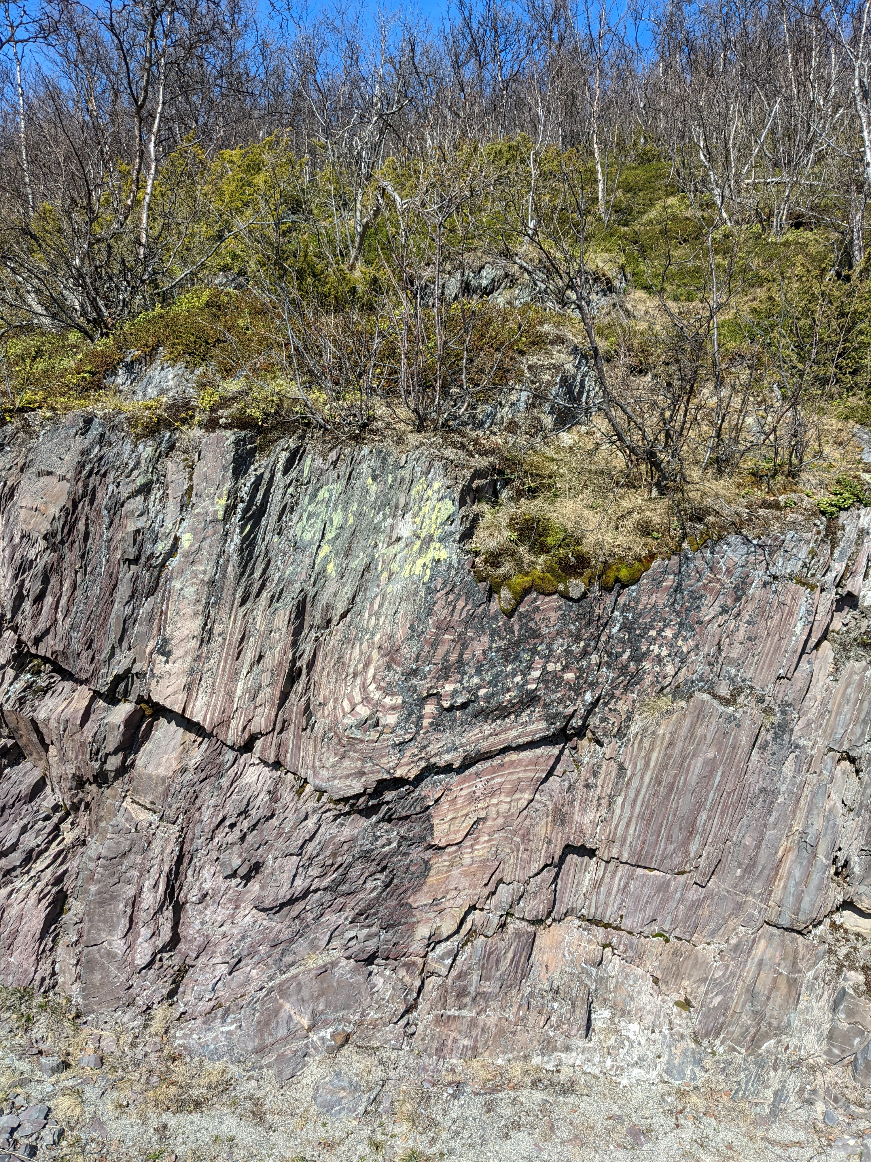
Much of the stone here is as wiggly as the elevation profile of the road cut through it. This is an underwhelming example, honestly. I’ve never seen layers deformed as wildly as I have in this region (though I’m just a curious observer).
Veikirker
Early in the day, we passed Tana Kirke, a super intense looking Vegkirke.
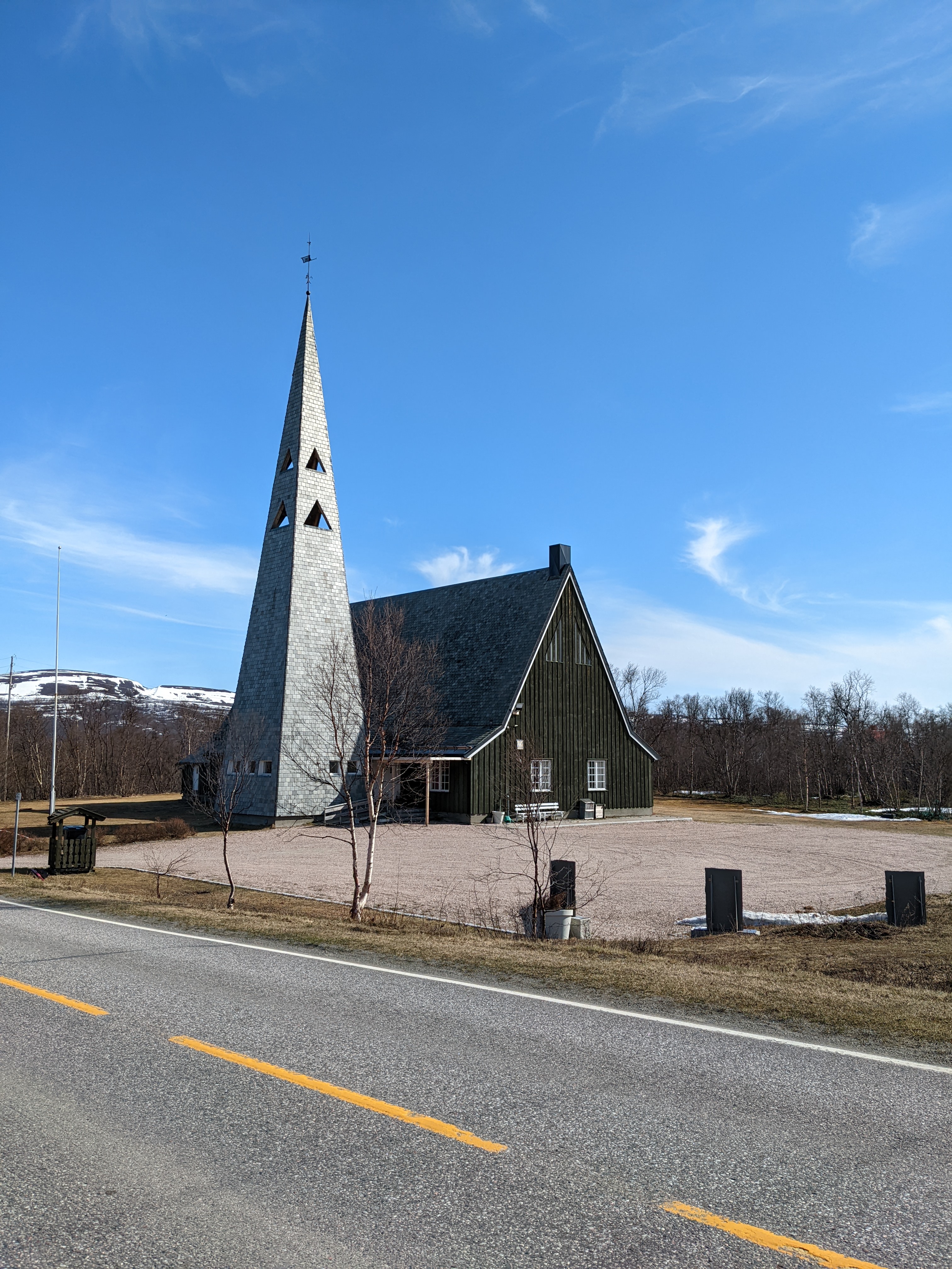
The Veikirker are ~50 roadside churches that offer basic food, hosts, and information, at least during the times they are open. I’m not sure whether this is a vestige of the occasional need for emergency shelter in remote parts of the country, or simply a church tradition I’m not familiar with. Either way, it’s intriguing enough that I might look past the dark facade next time we pass one.
Welcome endings
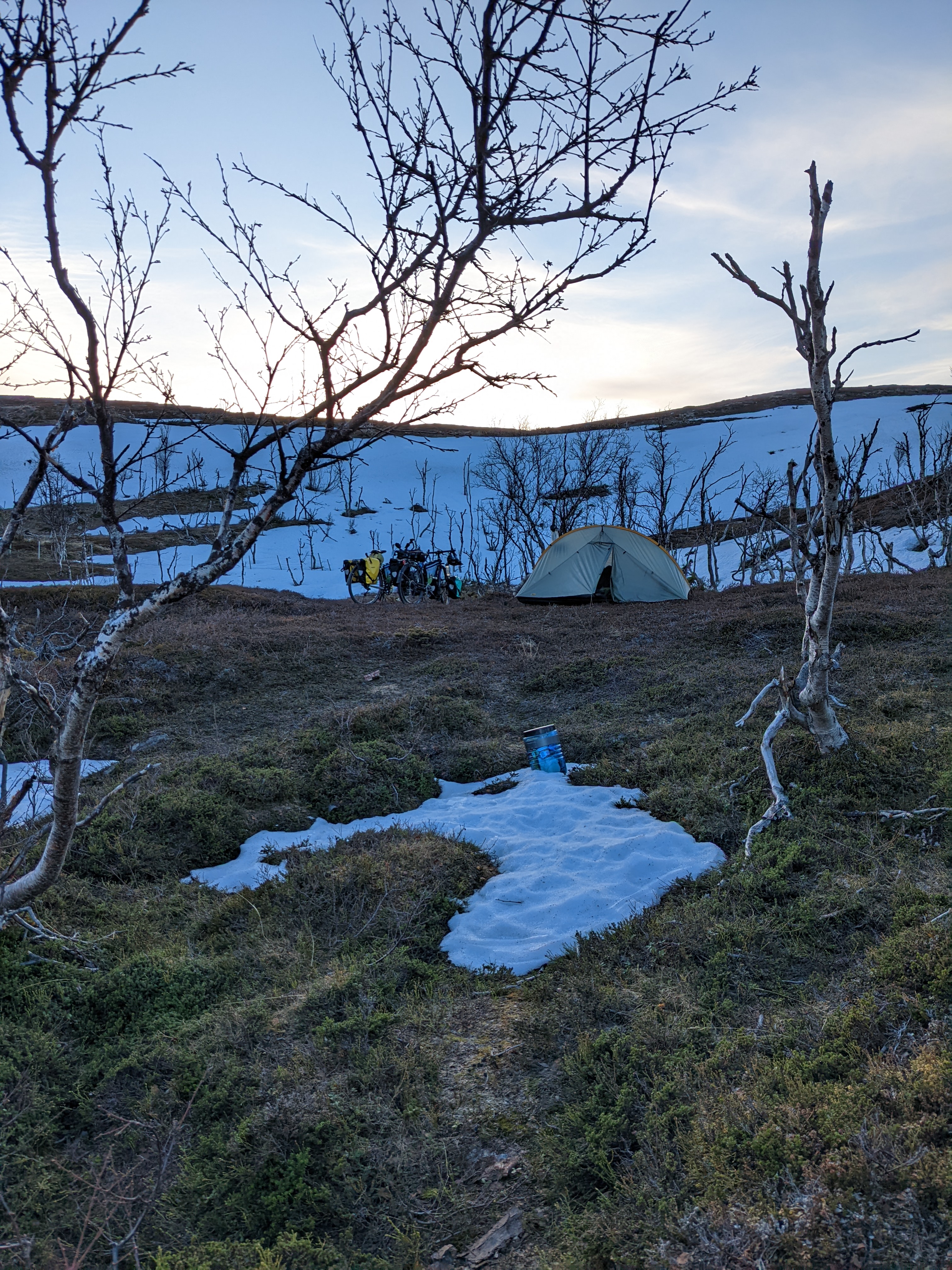
Today, we rode from sea level to highest elevation so far (~200m ASL/ 200 MOH), ending the ride next to a small meltwater tarn at the pass above Vestertana. It was closer to the road than we prefer, but met the needs of the moment.
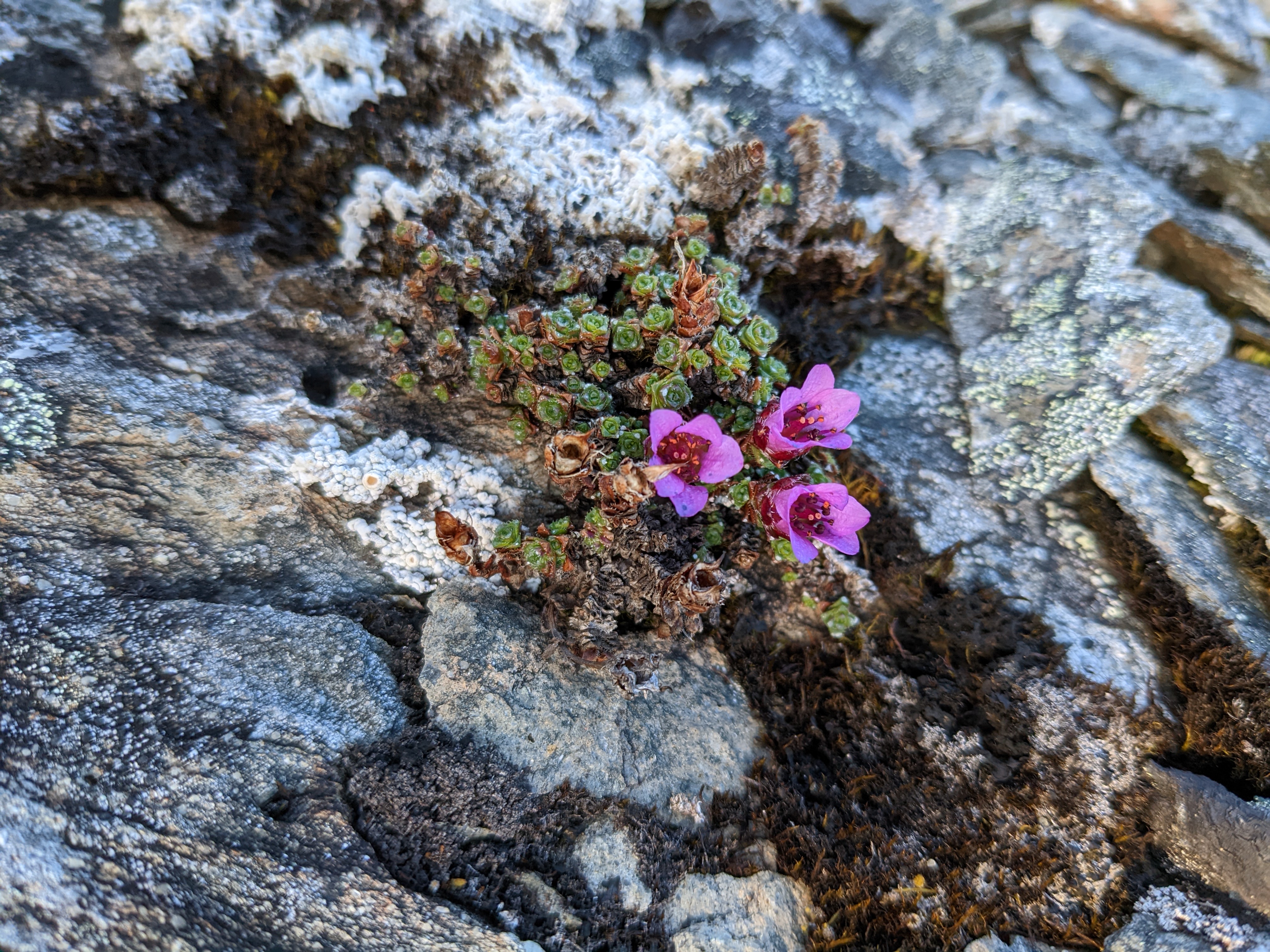
At the lower elevations, winter seems finally to be calling it quits, and the first signs of spring are everywhere. Trees have buds on, and a few are beginning to break. Some early bulbs are starting to shoot up. And these little pink cutie-ma-bobs are in flower.
Old Friends
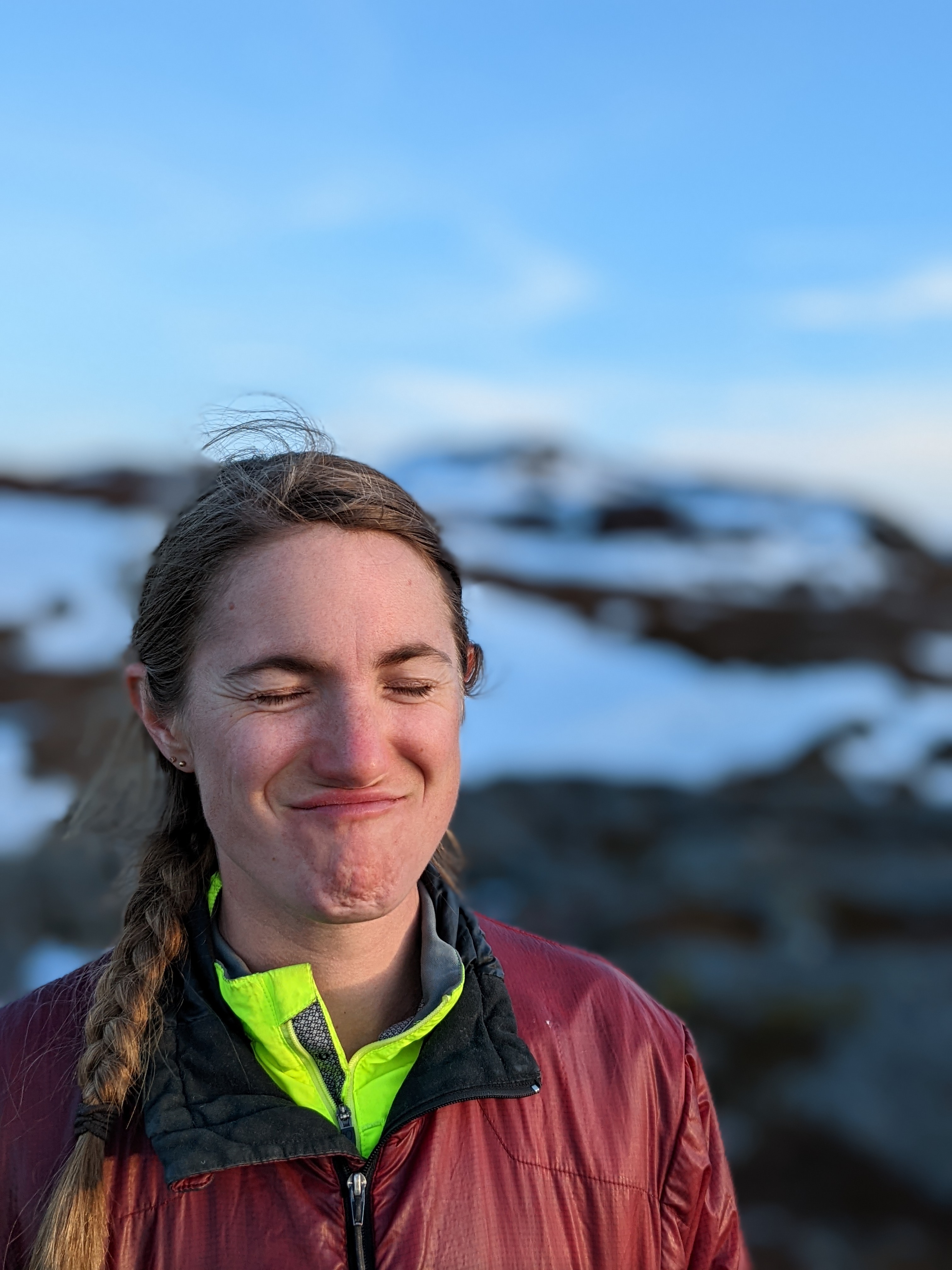
- H-cat. She’s the best, even when she gets tired of smiling for photos
New Friends
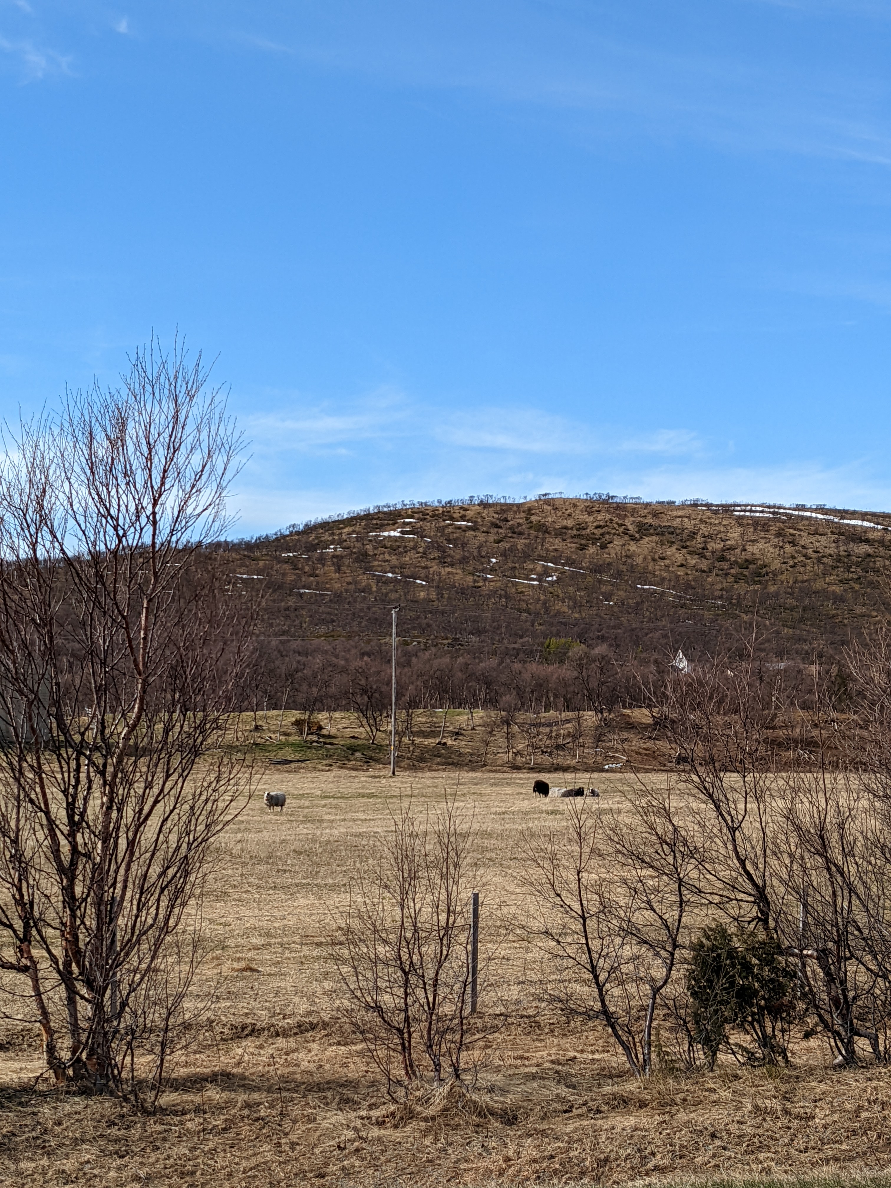
- sheeps! our first really positive sign of agriculture up here
- butter pasta - I put waaay too much butter in it. Maybe not a friend, really.
- sled dog yards - because when the sun is gone, grocery shopping is more fun with friends
- the best rock for pooping on (if you’re a bird). I’ll spare you the photo.
Just cuz
It’s so pretty here.
