Over sea and under stone
In this episode, we ride 135 miles in two days, race through Alta, appreciate ancient rock art, meet new people, and avoid a washed-out bridge by embracing Norway’s tunnels and ferries. Err, express boats.
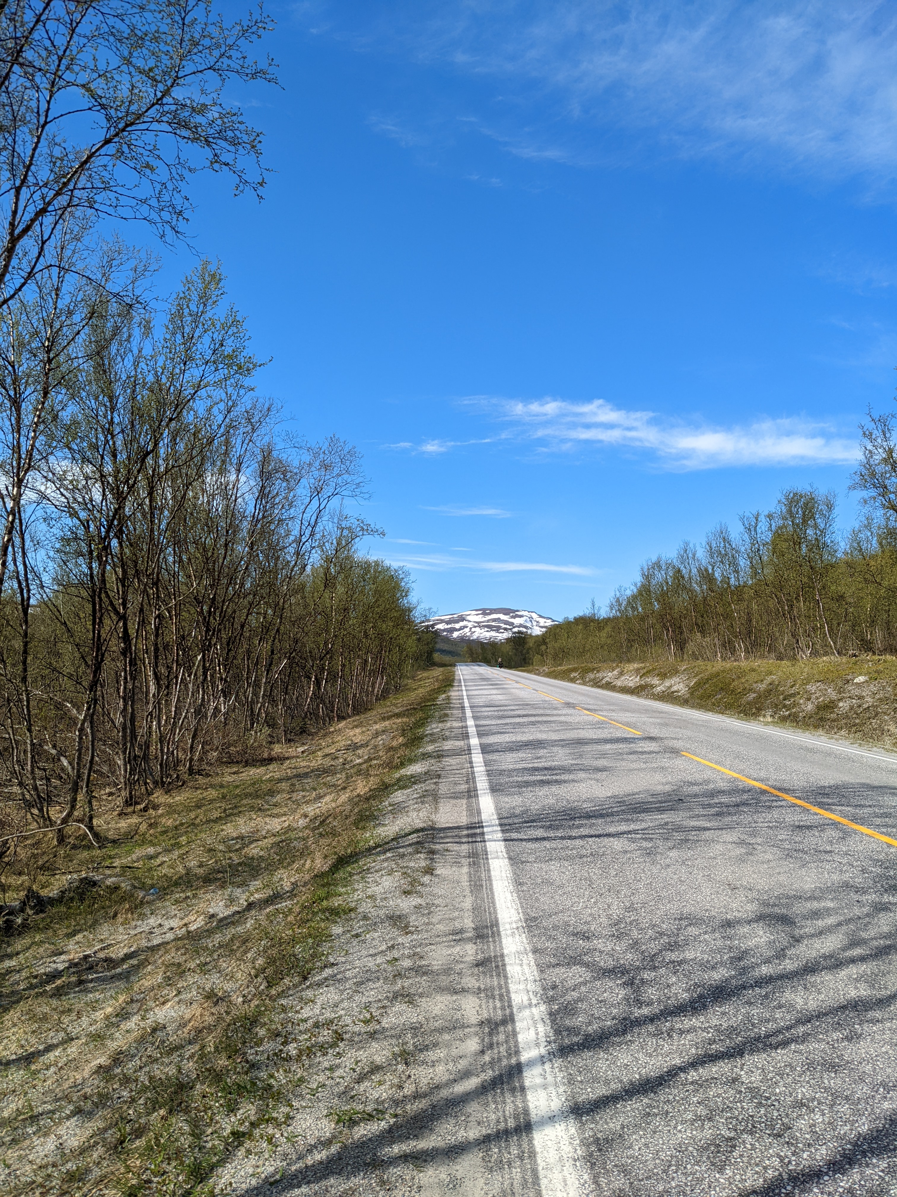 The pass from Russenes was notably more green than we’d seen before,
with birches all over starting to leaf out.
The conflict
After cruising over the pass from Russenes to Klubukt (yay forever tailwind!), we realizing we’d overshot our turn and decided to have lunch before going back up the hill and on to the second pass.
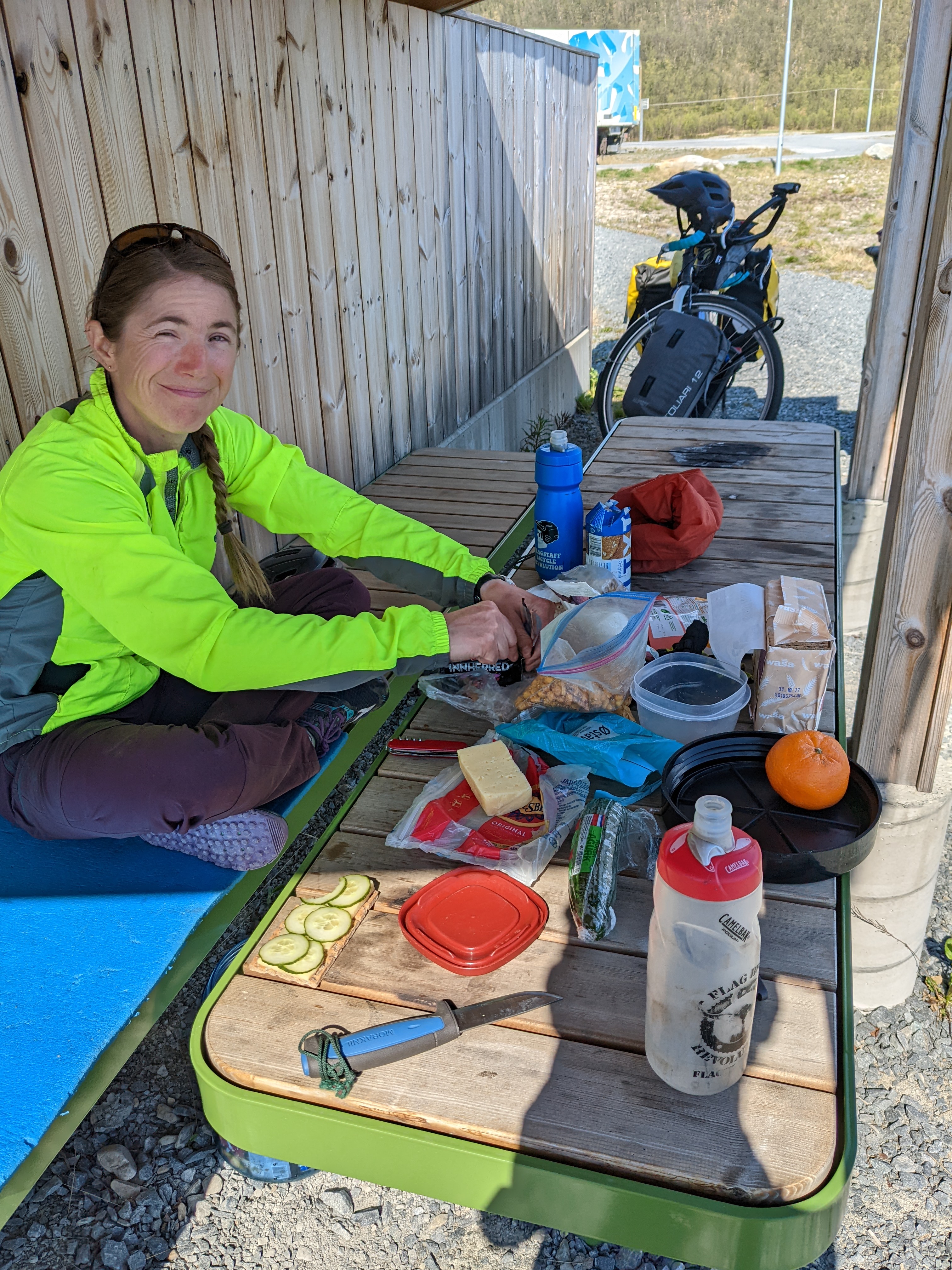 Our standard lunch of wasa, white and brown cheeses, cucumber and an orange to stave off scurvy.
At the vegbom (winter road-closure gate) above Russenes, the message board was flashing a “bridge out” warning (“bru stengt”) for the E6 bridge at Badderen. Damaged by flooding, the only safe road west was actually south, on a 600km detour through Finland.
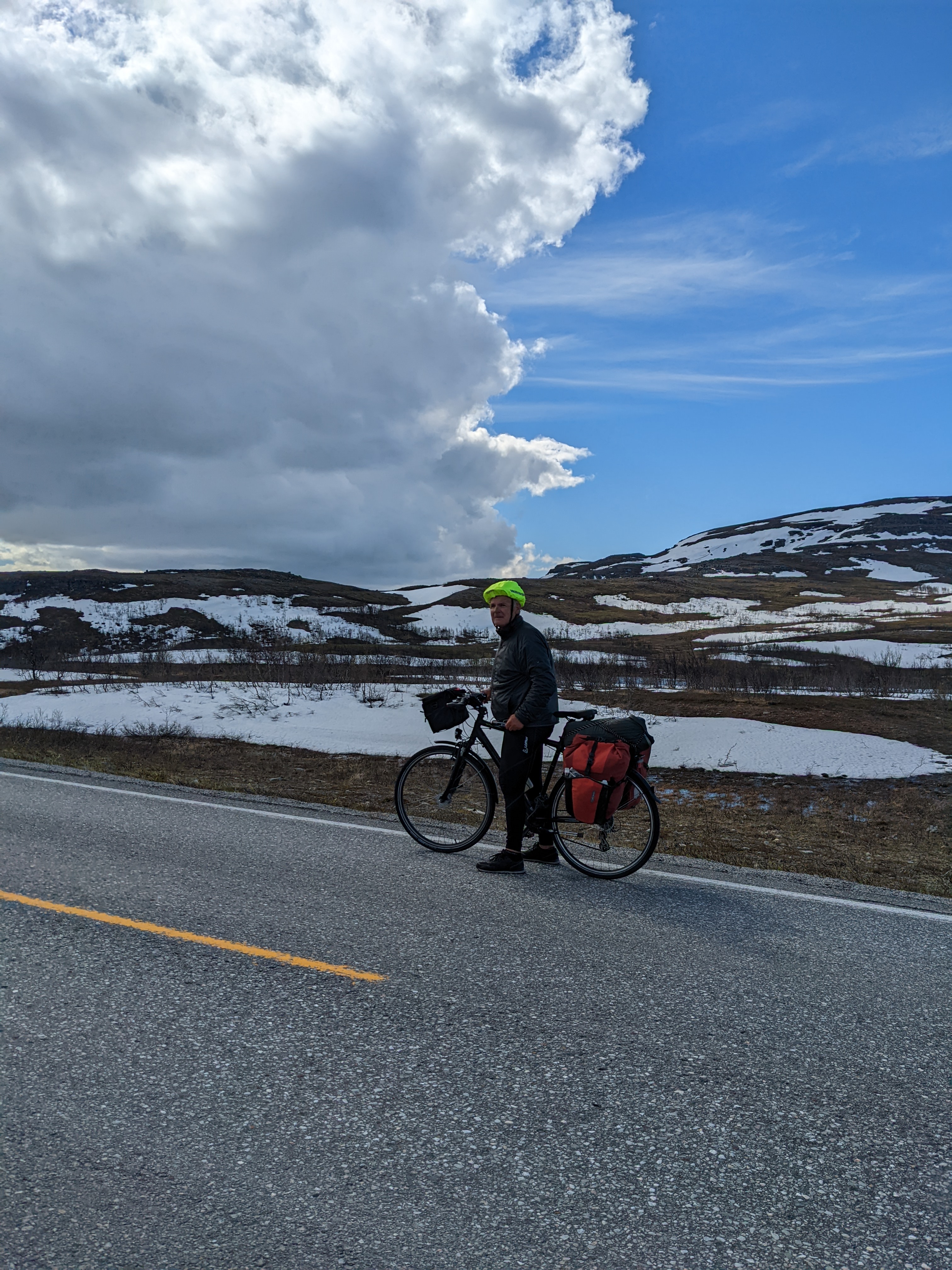 Lots of bike tourists here, headed for the Nordkapp!
We are hoping to stay with some Warm Showers hosts in Tromsø, which is the largest city in the region, and not toward the south. We needed to do laundry, resupply, ship some things, and generally recharge, so we found a faster way to get there and had the hustle to make it happen.
 The Goatemuorjohka (the Sami name for the River) dark and rushing in the spring flood.
Foreshadowing!
The easy pass
The first day’s riding was a breeze, with long, steady grades and a powerful tailwind, especially over the second and higher pass toward Alta. The river we rode along was rough and wild, and my phone’s camera really couldn’t do it justice. I spotted a snowshoe hare (or its local cousin) along the road up - first lagomorph of the trip!
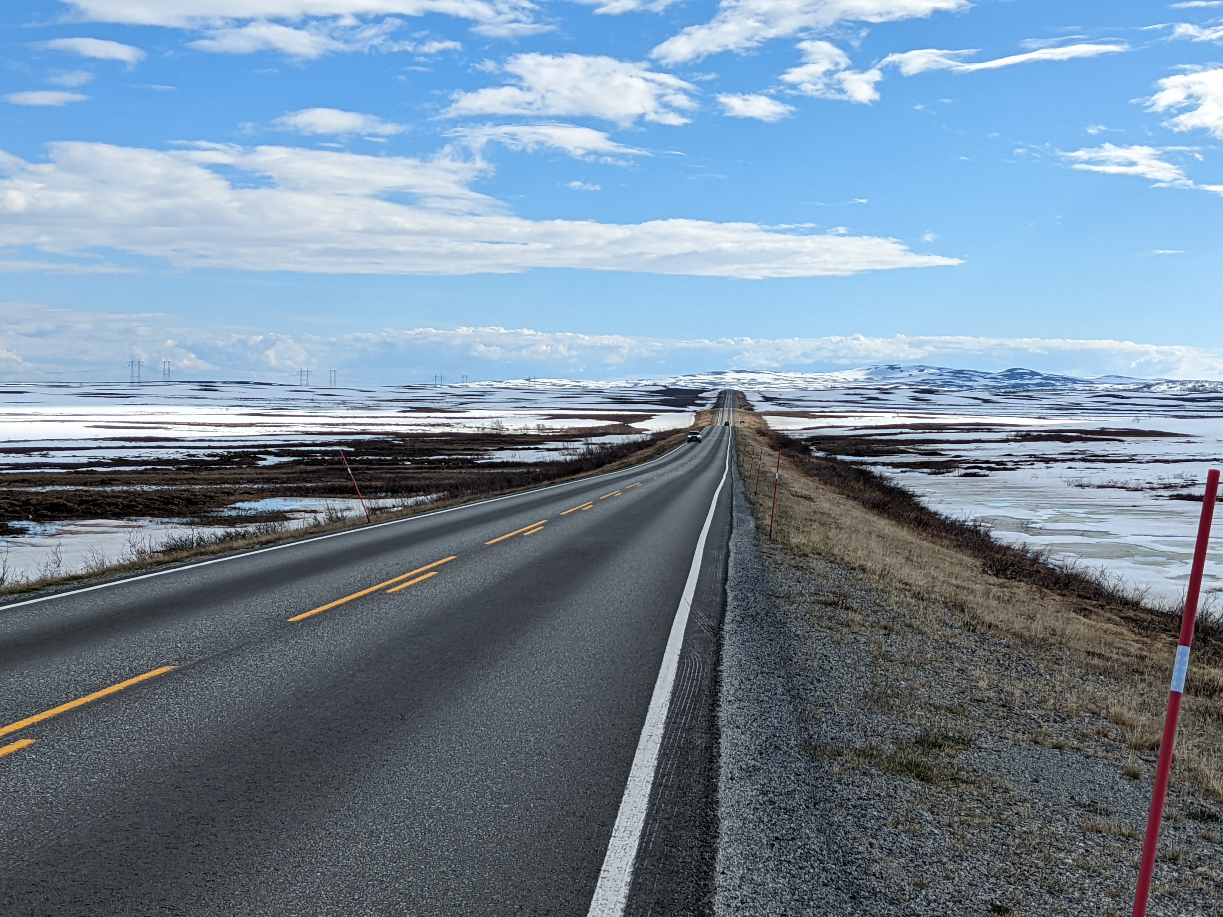
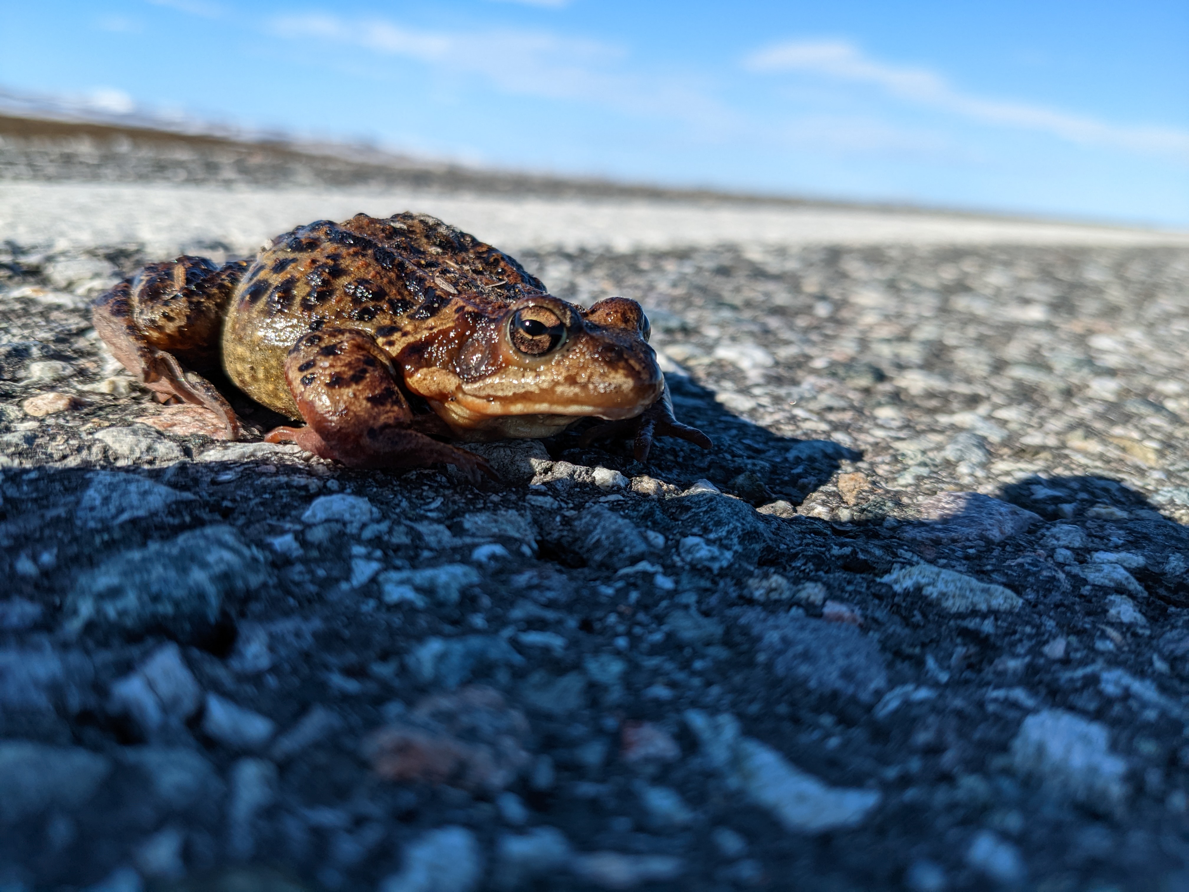
There is still plenty of snow up here (385 m.o.h./mASL), but the thaw is far enough along that finding a comfy lunch spot was easy. This landscape is probably mostly marsh once it thaws out, and this adorable toad-guy was trying to get a jump on things by warming up on the roadway.
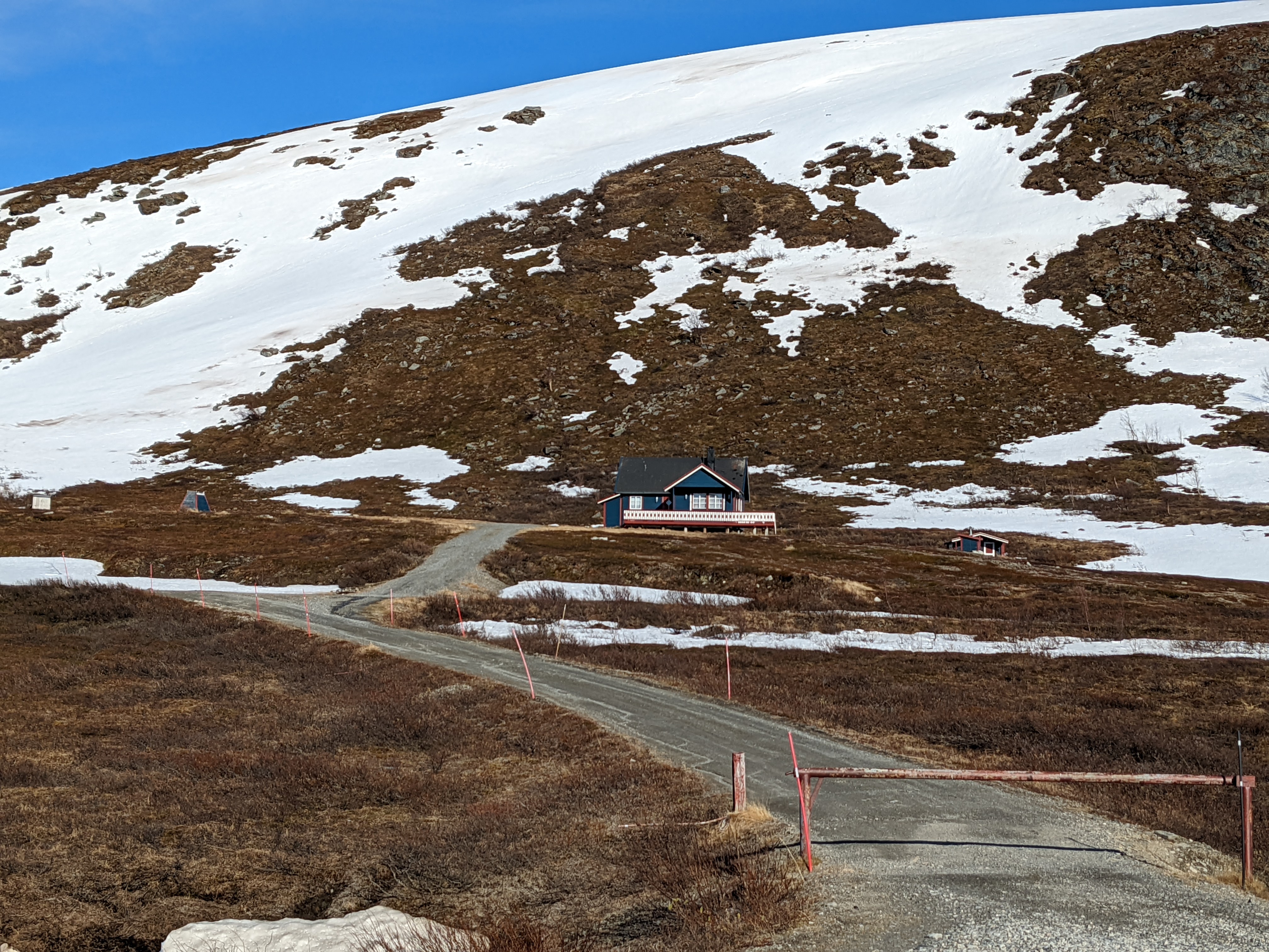
Despite the (relatively) high elevation, late snow cover, and long seasonal road closures, there are quite a few houses and hytter on either end of the plateau. Many are simple, some are even shabby, but there’s plenty of gingerbread too.
The tourist with the red bags (above) warned us that there was limited camping until shortly before Alta, and mentioned a nice flat spot right by the fjord. We’re not sure whether we found it, but the spot we found was lovely and flat, and there was just enough space on the margins of the farmer’s field to make it work.
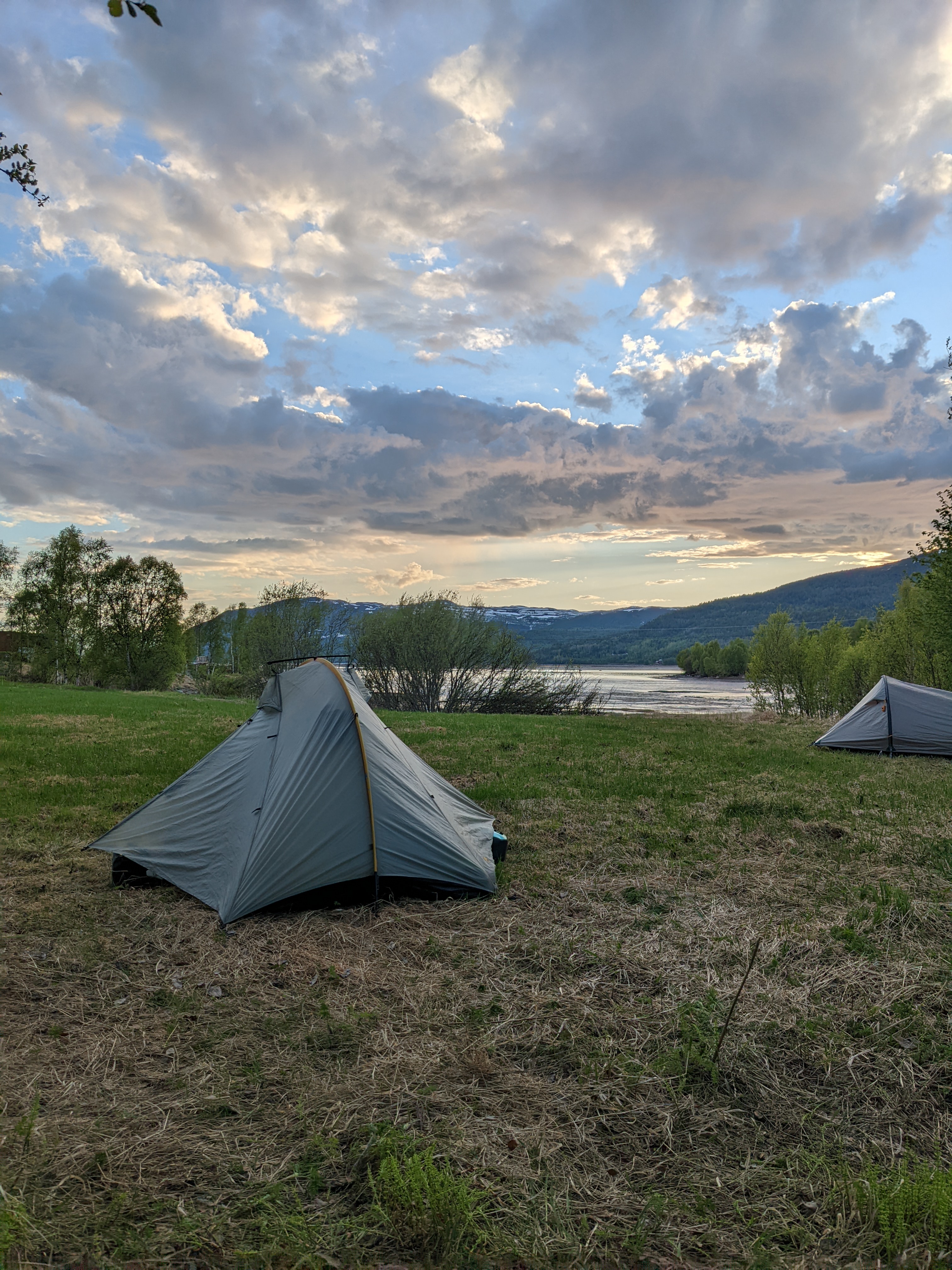
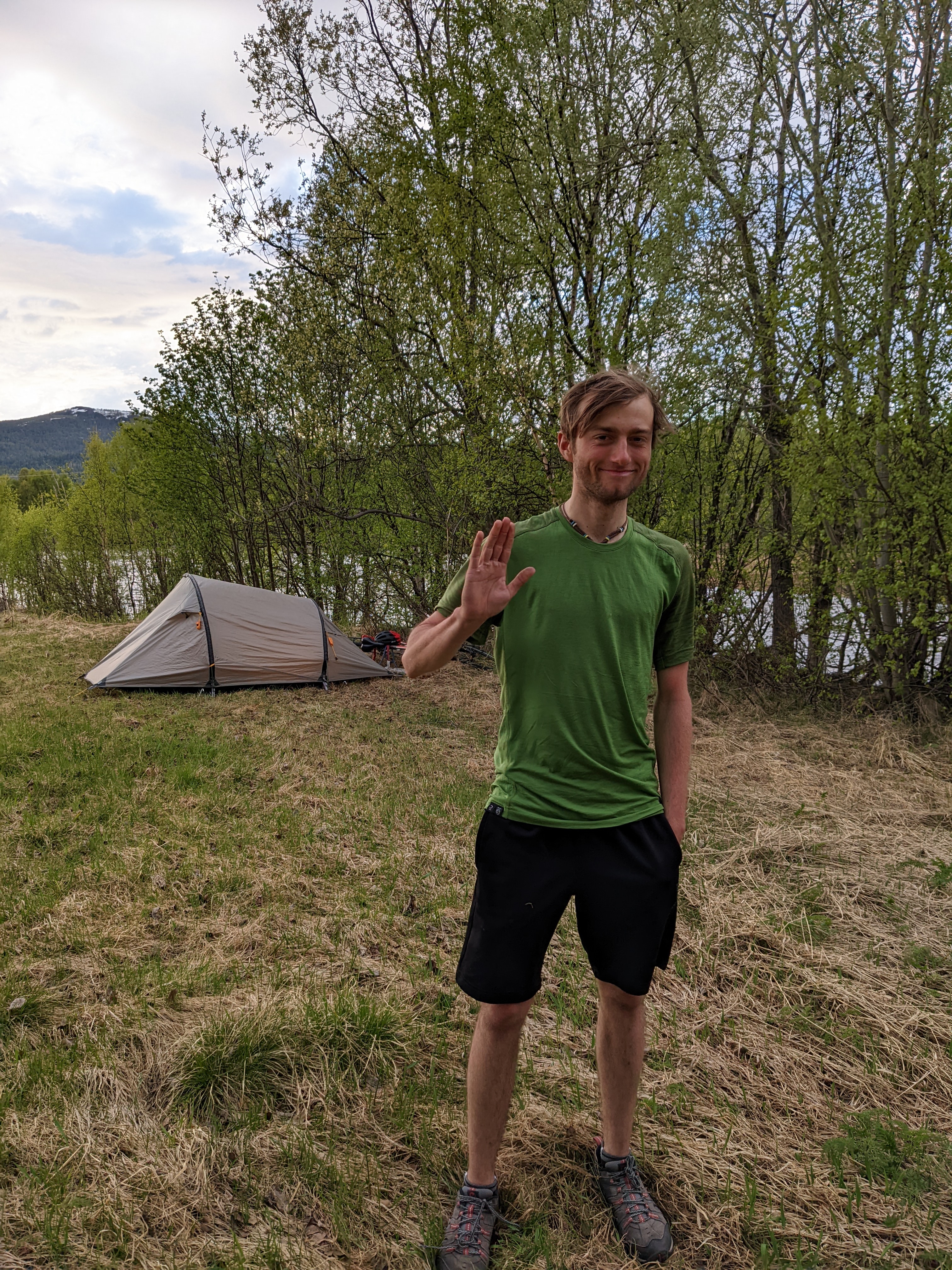
There was also another camper there! Meet Florian, who rode up from Germany, through Estonia and Finland to Nordkapp. He’s headed south now, to Spain then over to Argentina, and possibly up to North America. You can go far on a bike in two years!
Shopping Alta
We cruised the last few miles into Alta, looking for a resupply, a bike shop, and a bigger pair of waterproof gloves to keep Heidi’s hands dry and warm. The temperatures here are rarely actually cold, but there’s been just enough rain to soak through our warm gloves a couple of times, and that’s seriously no fun.
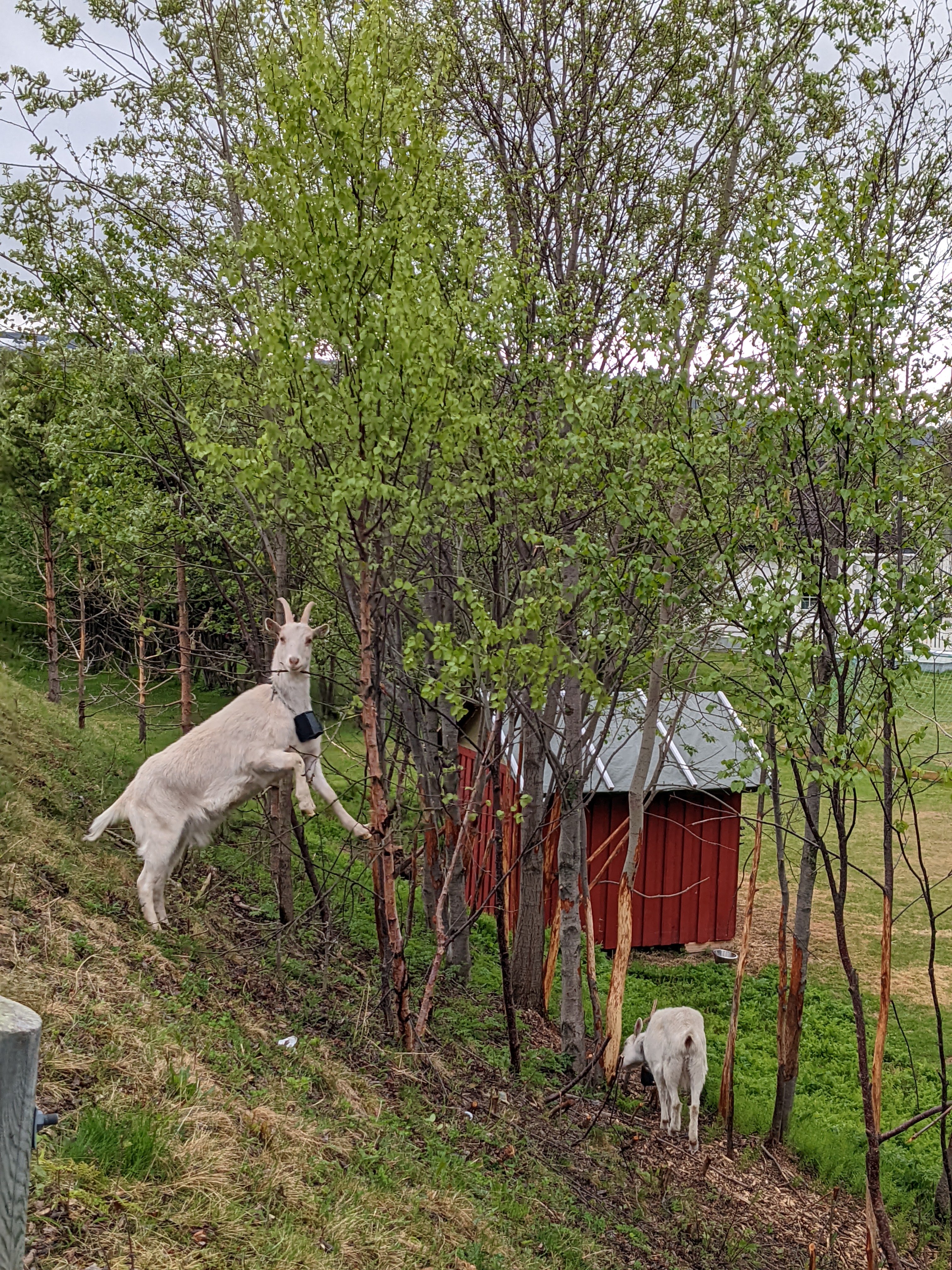
Any goat can tell you, cheap waterproof gloves beat fancy insulated jobs in the rain nearly every time. Even rubber dish gloves will do the job, but the heavy-duty ones from workwear shops last much better.
The bike stuff went smoothly (just a squirrelly barrel adjuster), and after passing by a bunch of $50 neoprene jobbies at the gear shops, I got directions to Tess, the nearest workwear/fisheries shop. We grabbed a pair of medium-duty $5 rubber gloves big enough for Heidi to wear over liner gloves if it’s cold and dumping rain.
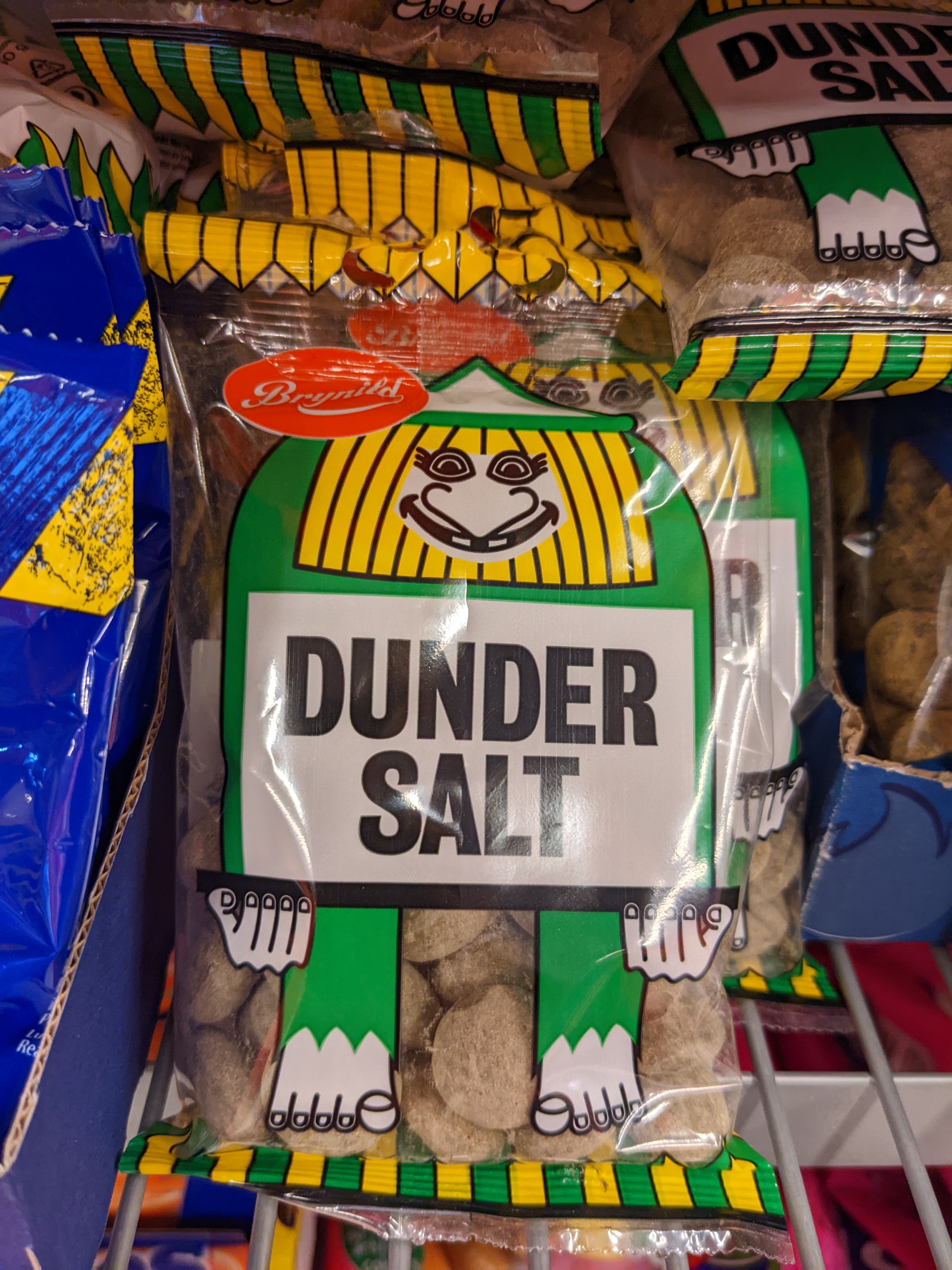
We found a selection of weird new candies. I was brave enough to try Brynild’s “Dunder Salt” drops, but even I had to draw the line at “Supersalt Skum Bananer”.
Cultural experiences
We had found a ferry that would take us from the small terminal at Burford Kai out to the island of Skervøy. Skervøy has a road connection to the mainland west of the closed bridge, but it was a 54-mile ride to get there. The only boat we had a chance at making was a 22:00 sailing, and we’d have to hustle to get there on time.
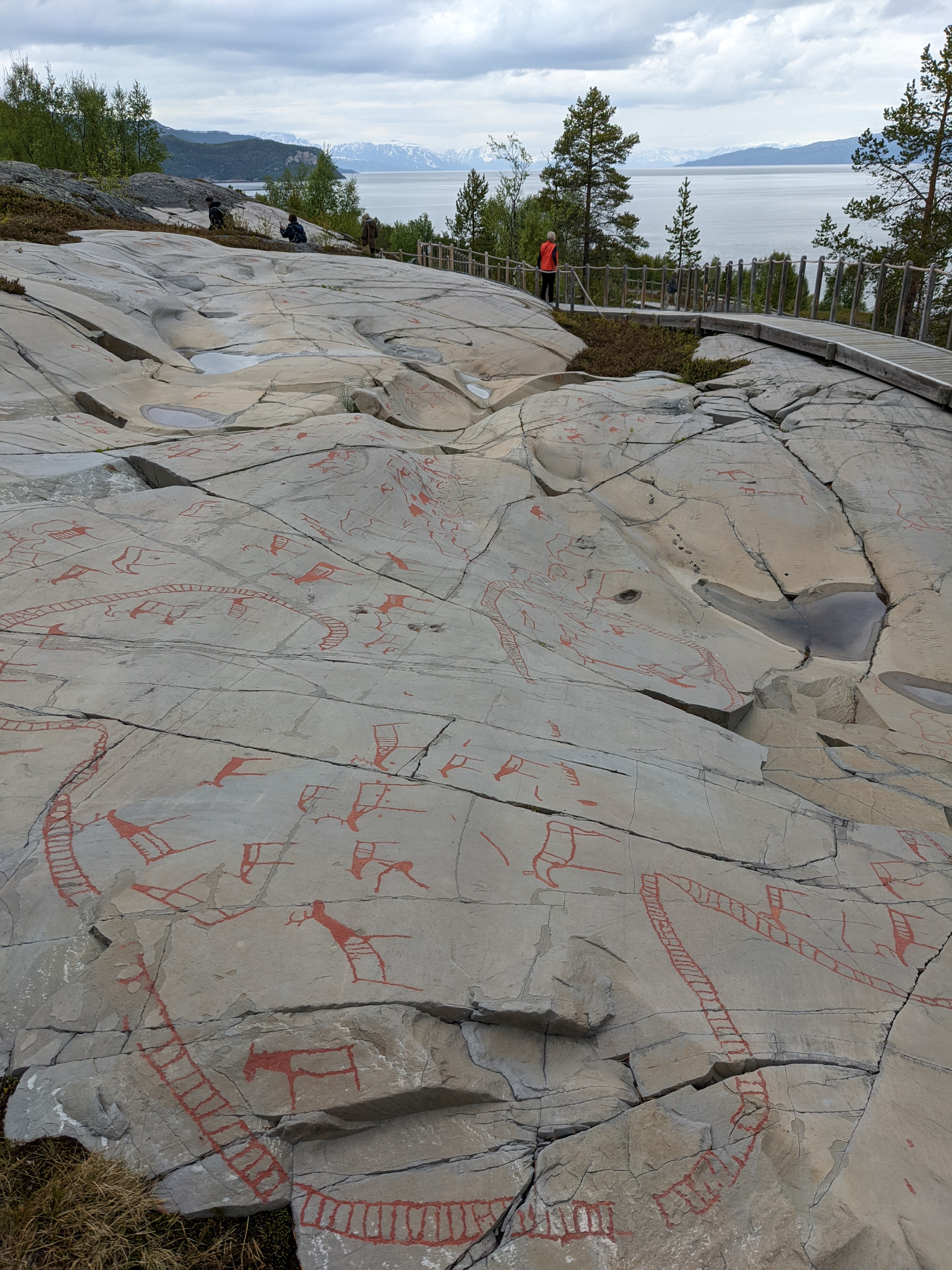
Alta is home to a UNESCO World Heritage rock art museum with 5000 years worth of stone age rock carvings on display in their natural environment. That’s so much history that rocks originally carved near sea level have risen to 25 meters above the water as the loss of glacial pressure has allowed more land to rise out of the sea. We were hours away from our ferry, and hungry, but we couldn’t miss that.
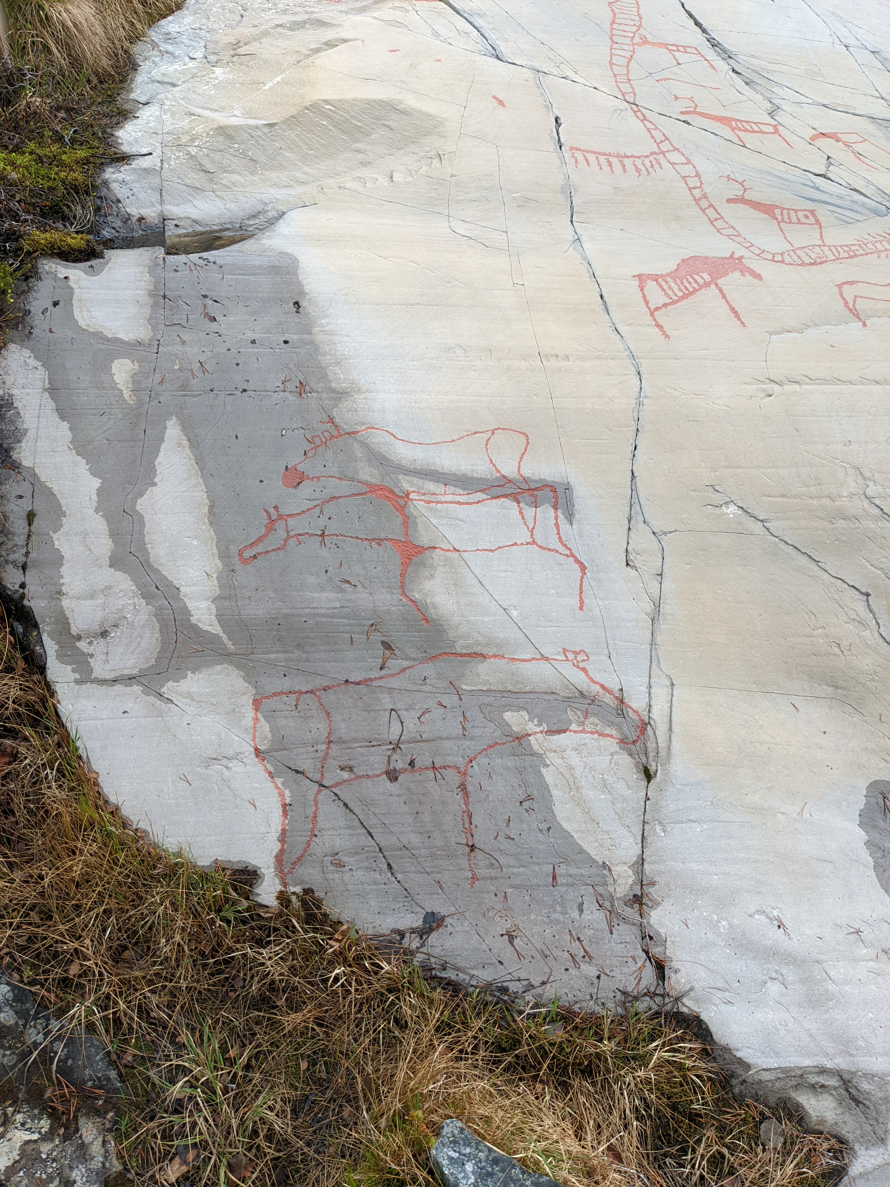 Mysteries from the past: Is this the profound joining of two spiritual beings,
or just old graffiti of two moose getting it on?
So we stopped at the Alta Bistro, an unspectacular looking place west of town. The dude behind the counter had the hippest haircut in Norway, though, and served us the biggest wrap I’ve ever seen and a massive serving of very decent finnebif. We’re talking nearly two Chipotle burritos in size.
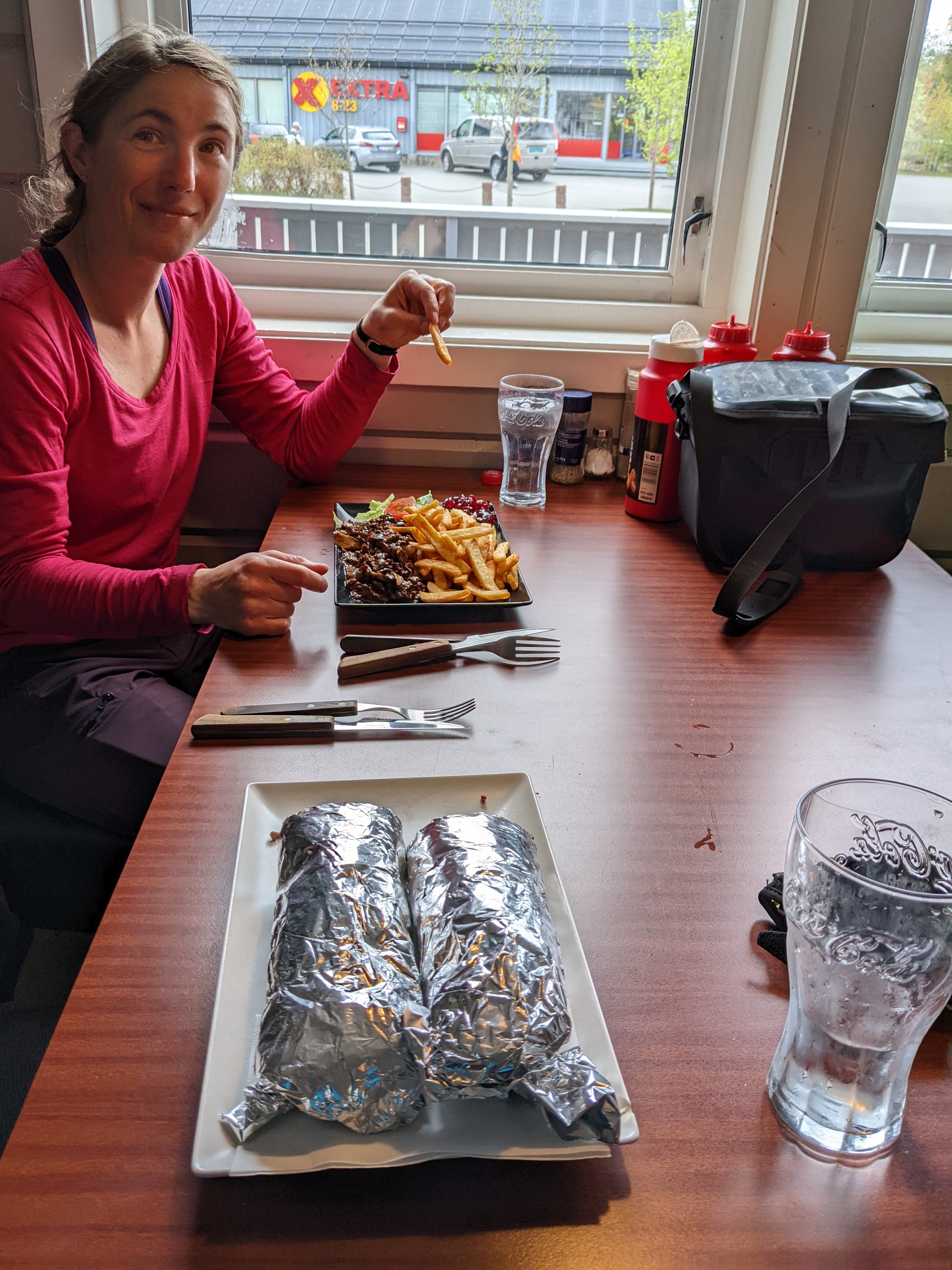
We packed up the remaining half a burrito and walked the rock art exhibit for 90 minutes. Pondering ancient mysteries, we stopped to pee in the bomb shelter below the museum and hit the road to Burfjord Kai.
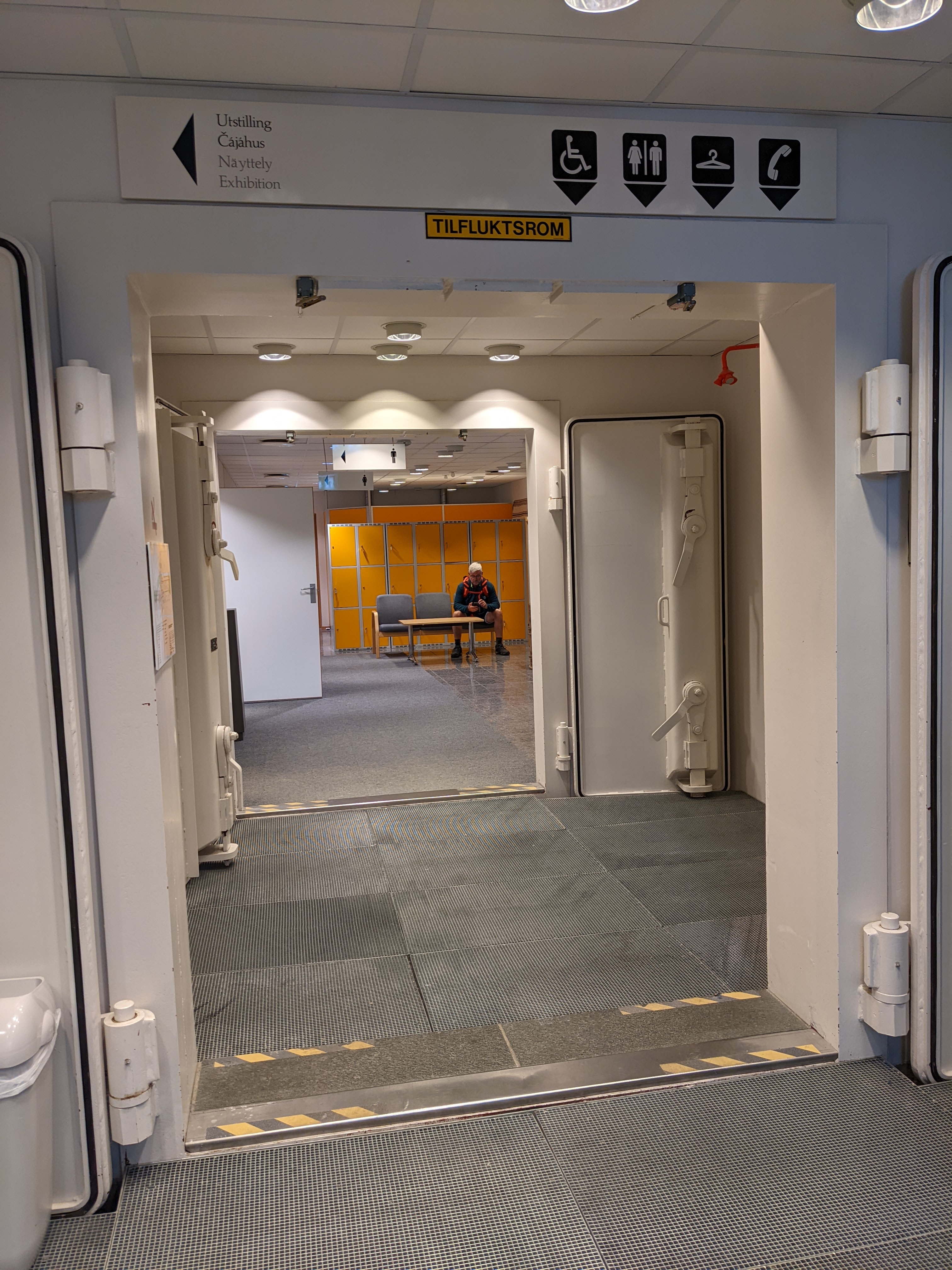 Though we’ve come a long way from the Russian border since the beginning of the trip,
this step into recent history shook me a little.
Journey to the center of the earth
The coastline west of Alta is dotted with rocky outcroppings, and pragmatic Norwegians have drilled a series of holes through them to keep the cars humming along in the worst of the weather.
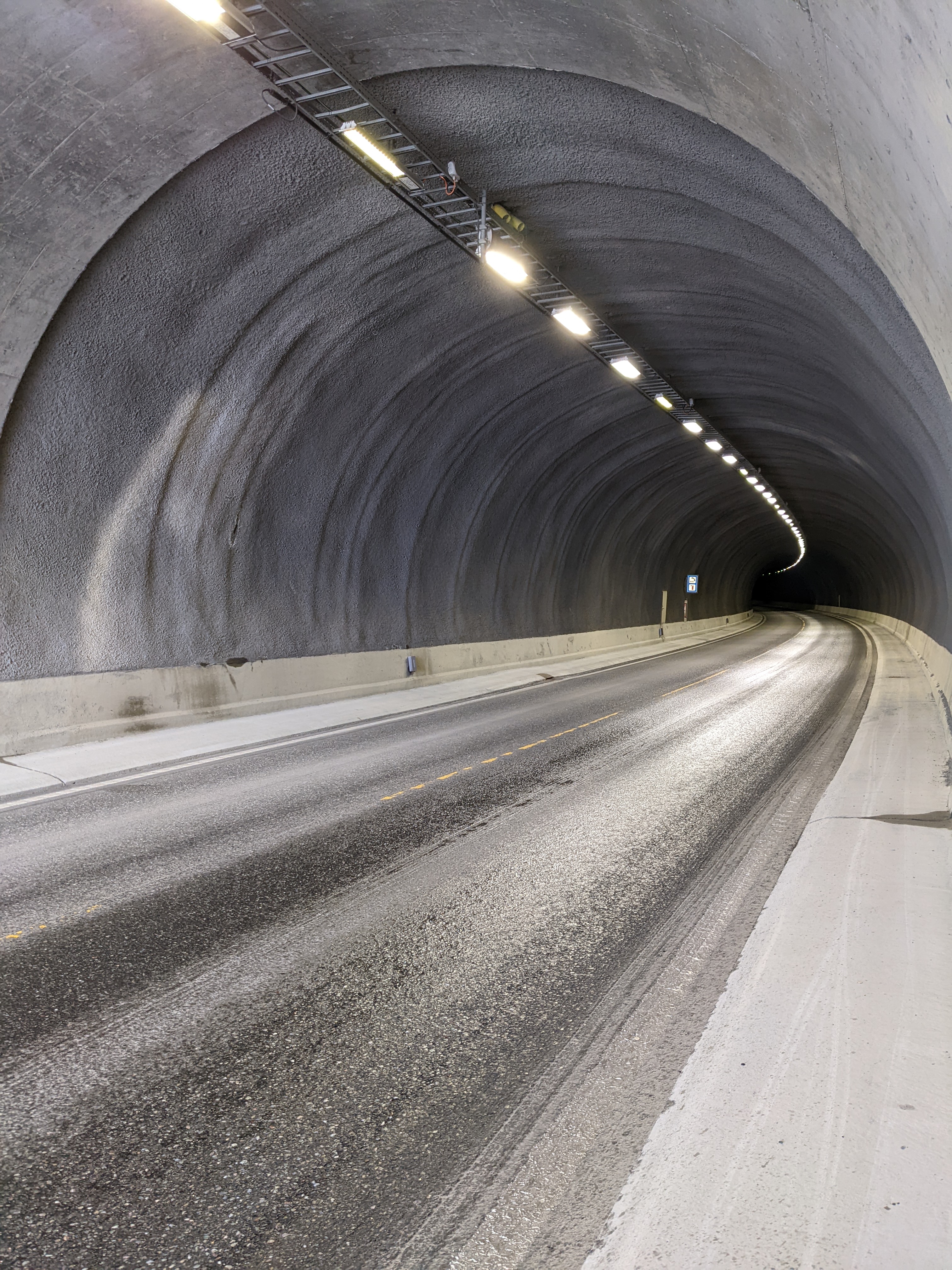
The tunnels east of Alta are, in retrospect, relatively new and bright. They have mostly flat, smooth, just-wide-enough sidewalks along both sides, but riding through them for the first time is still gripping.
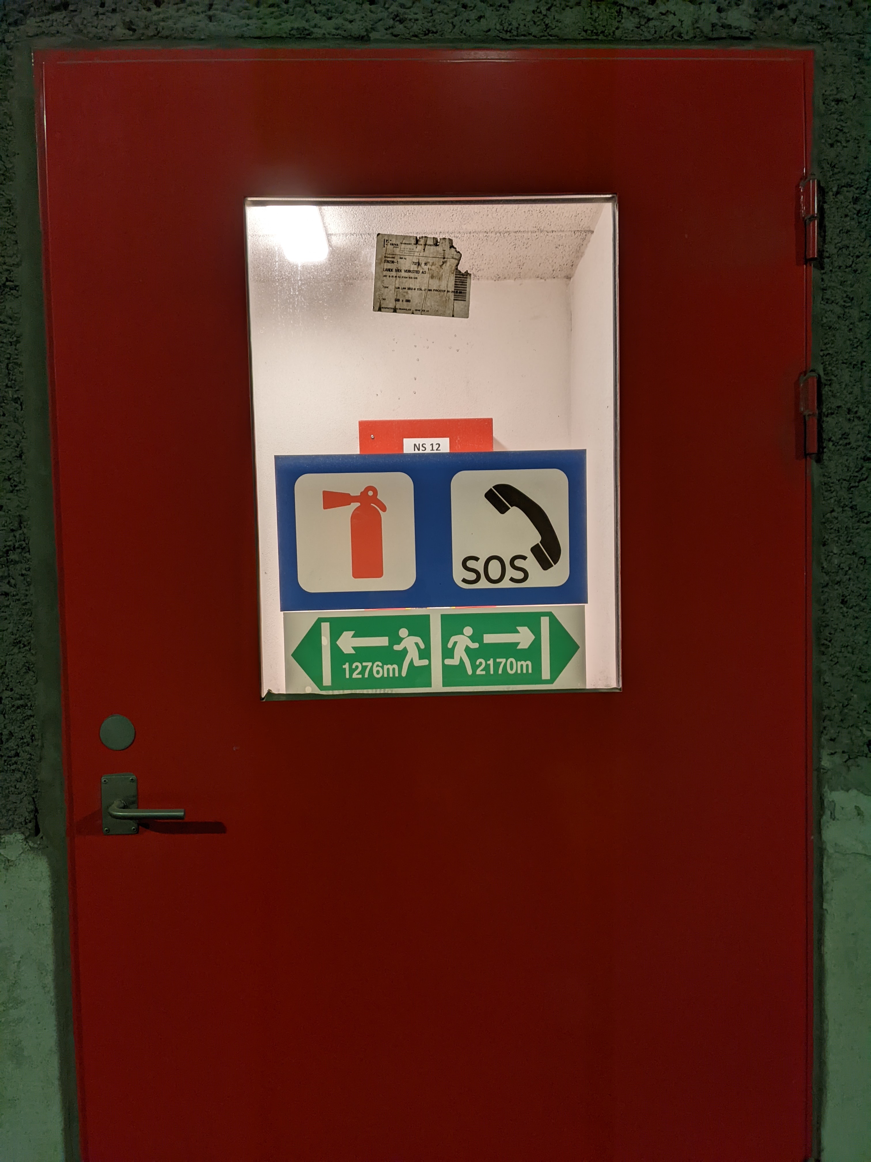
Some tunnels are closed to cyclists. The old, winding coast roads they replaced are often maintained for cycle and pedestrian use, and for vehicle access to the homes and hytter alongside them.
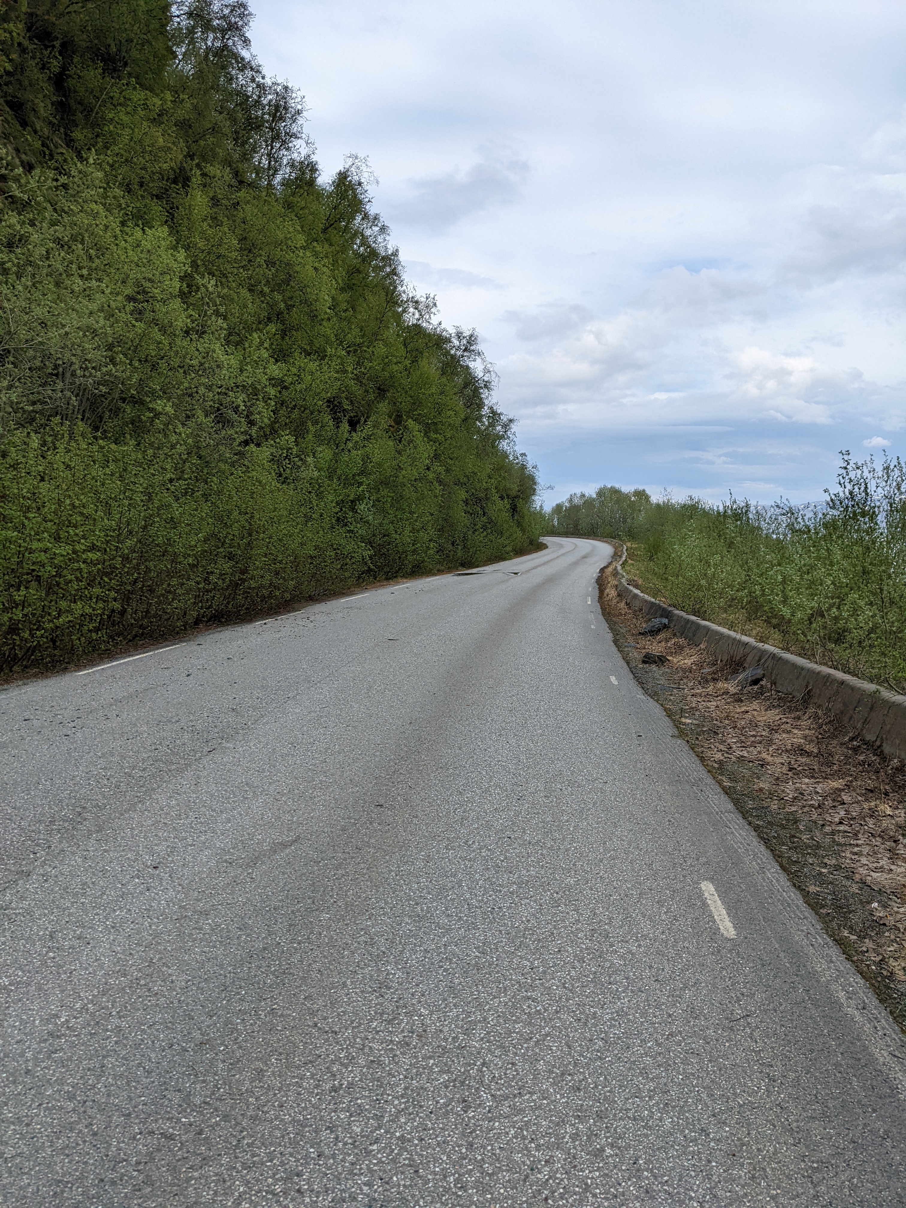
These roads are quiet and calm, with coastal views and no traffic to speak of. Given the choice, I’ll take them over a tunnel whenever possible. The tunnels are faster, though, and we needed all the time we could get.
Pro tip: take your sunglasses off before you enter the tunnel. It’s much harder to remove them at speed. yikes
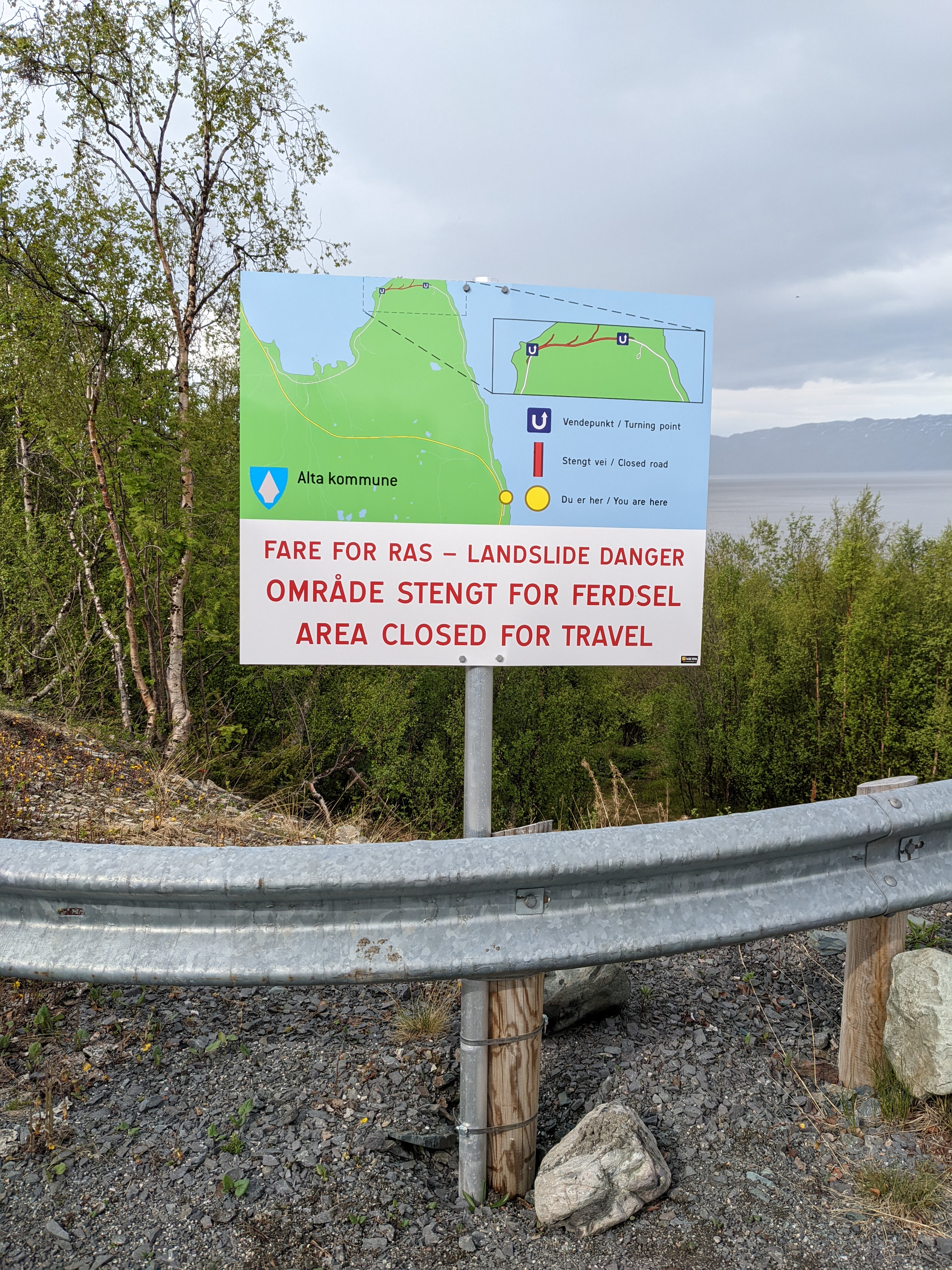
NOTE: The tunnel signage in the Alta area can be frustrating for cyclists. Information about cycle access is often posted directly before the entrance, and well after the turn-off for the alternate route. One alternate route was closed due to rock fall, but we had to ride down to the waterline (and then back up to the road) to learn this. This incredible map of Norwegian tunnels is frequently useful, but better-placed signage couldn’t hurt.
Racing the rain
Despite a forecast without precipitation, an intermittent rain began as we left the museum. Streamers of heavier water were visible upwind of us, and it seemed almost certain that we’d be caught in the storm. Wet clothing is an uncomfortable hassle and I can be a bit precious about trying to stay dry. A little squall caught us briefly before a tunnel, but we rode out of it quickly.
This road is coastal, rising and falling gently along the fjord until it reaches a broadhead point. There at the end of the world, it doubles back, now on the other side of the mountains, and it runs along the water until Langfjordbotn. We rode hard and chose the tunnel that cuts off the point. With winds from the northeast, we gambled that the peaks separating the fjords would hold the clouds back from the Langfjord side for a while. This shortcut paid well.
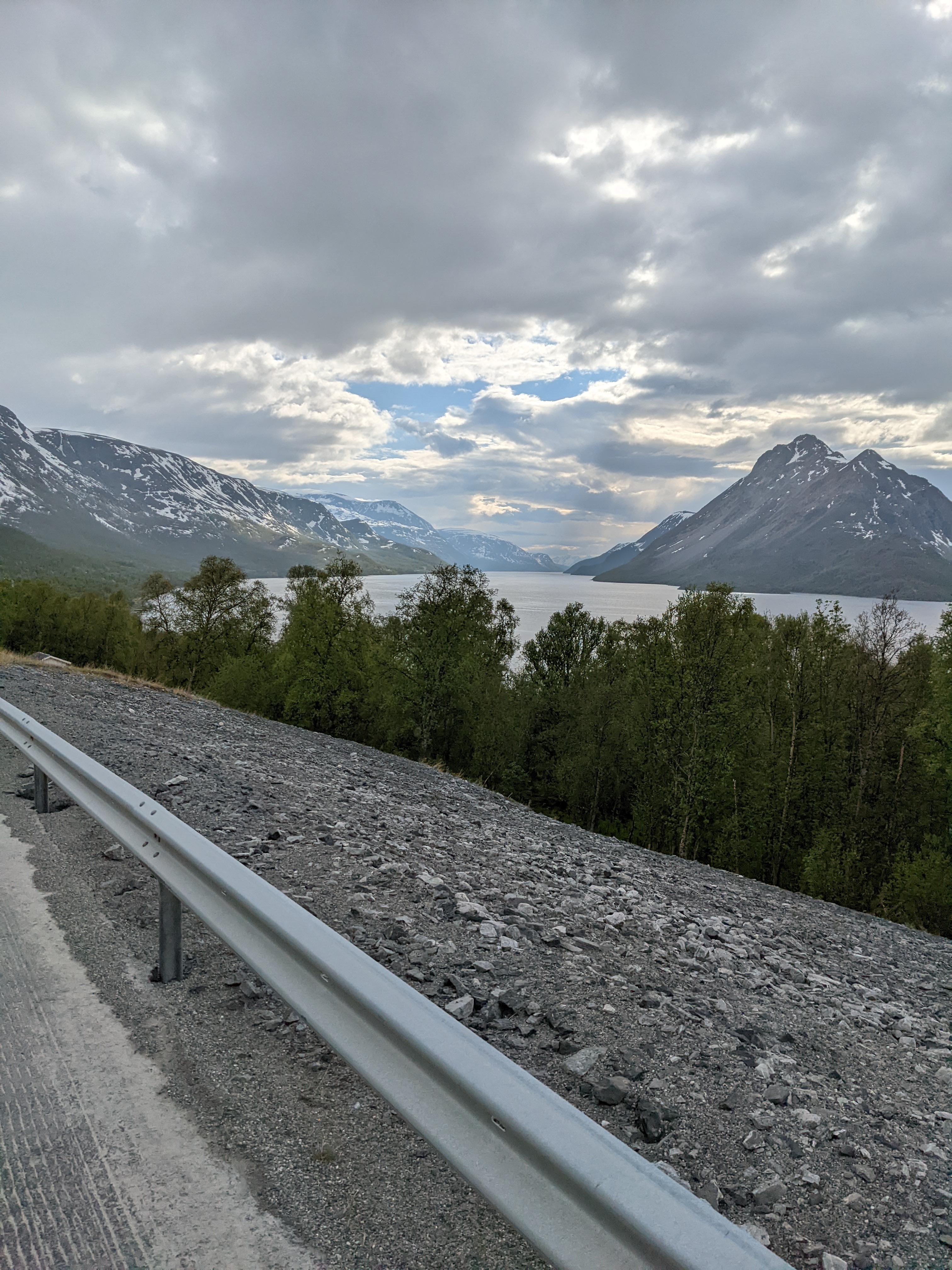
Escaping from the tunnel darkness into the beauty of Langfjord is shocking. The name is apt, and the mountain ranges flanking the water, with the peaks in the distance, make this the most beautiful scenery I’ve seen to date. The road is fast with the right wind, and we had it pushing us all the way.
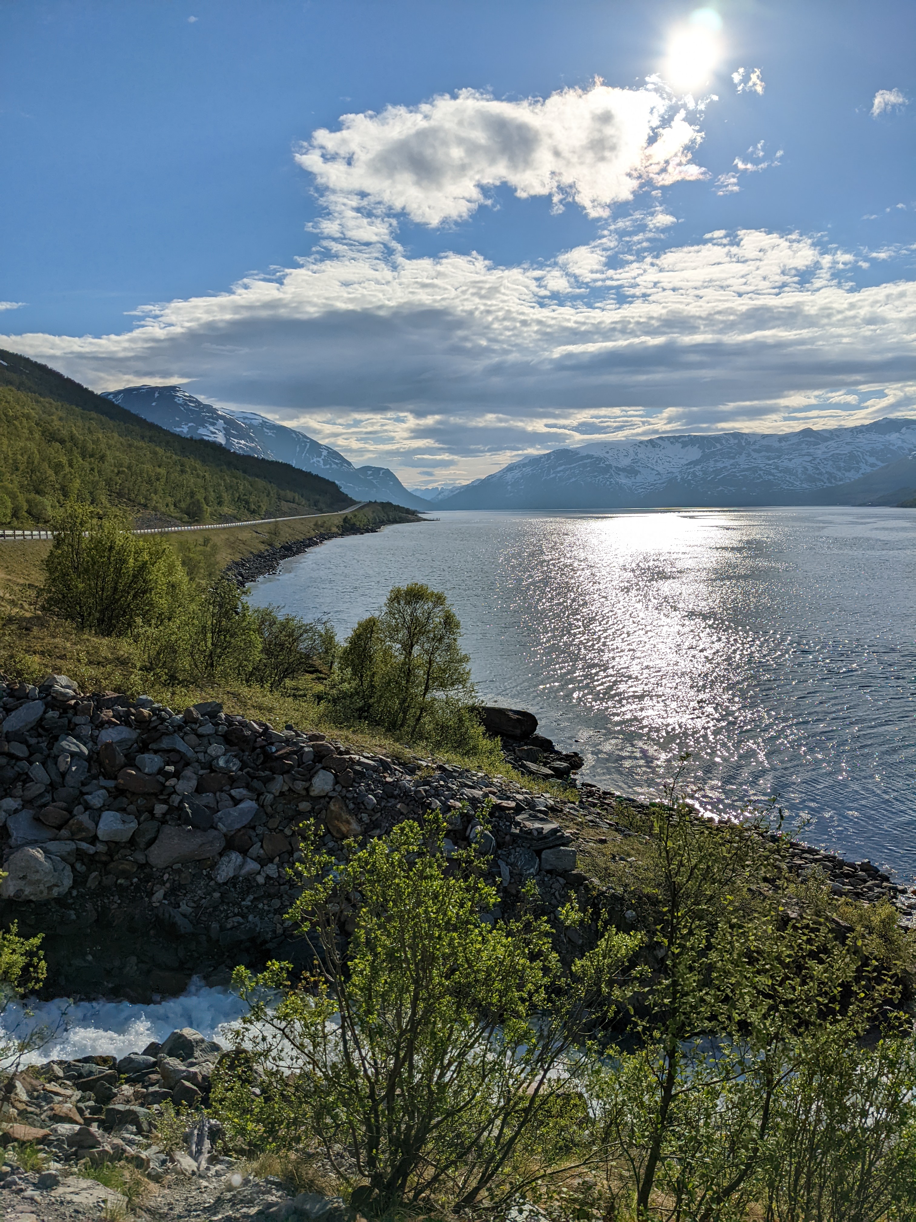
As we continued down the road, the threat of rain eased and more blue forced its way into the sky. The road was empty and ours for miles, skipping over waterfalls and dancing with the forest.
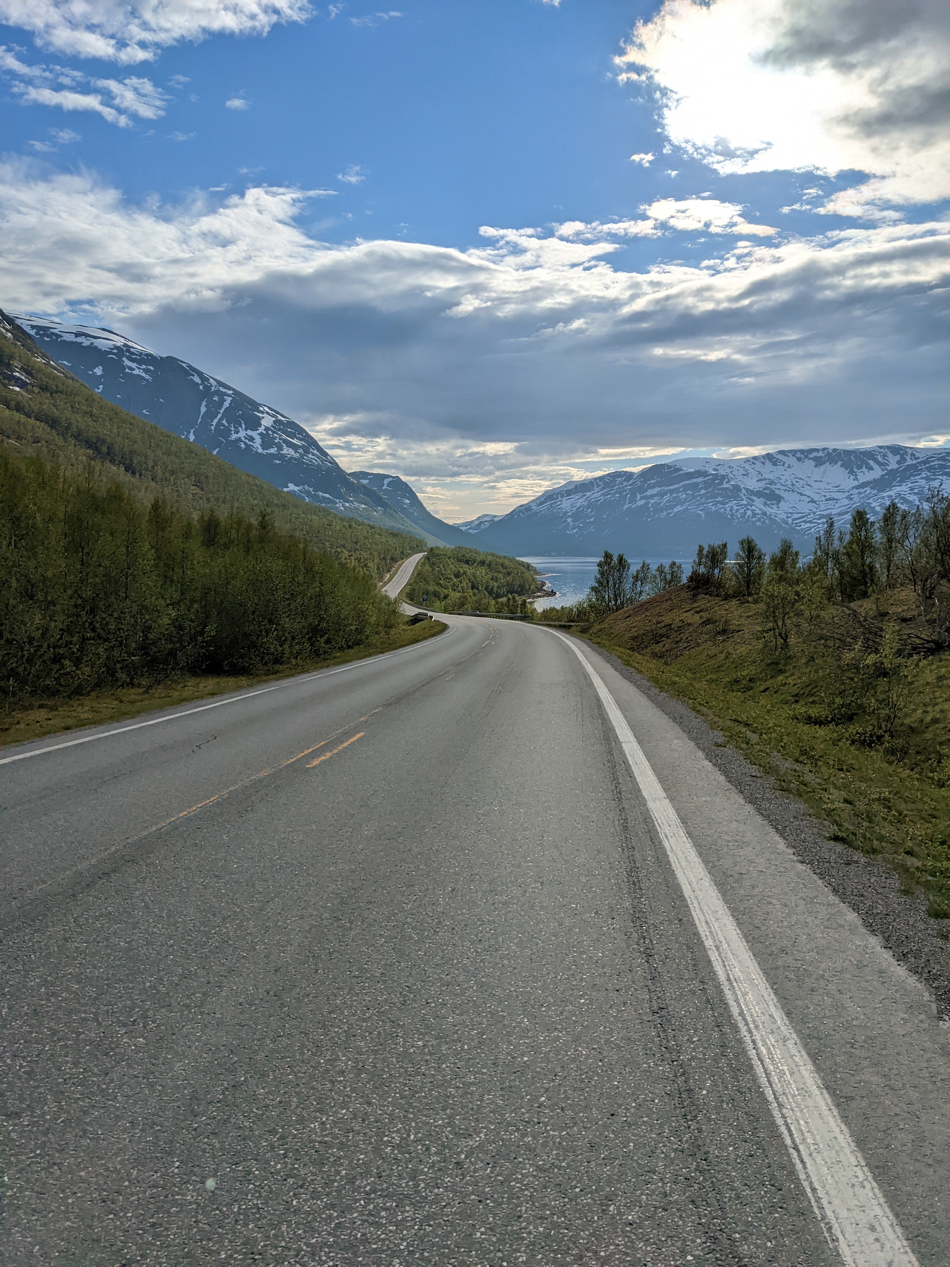
None of these photos do justice to the experience.
Up and over
The last real push of the ride came at the pass above Langfjordsbotn, but we’d made good time and were able to enjoy the climbing.

The distant mountains have grown close here. The pass road is flanked by farms and homes, with the broadest cultivated fields filling the rolling flats near the top.
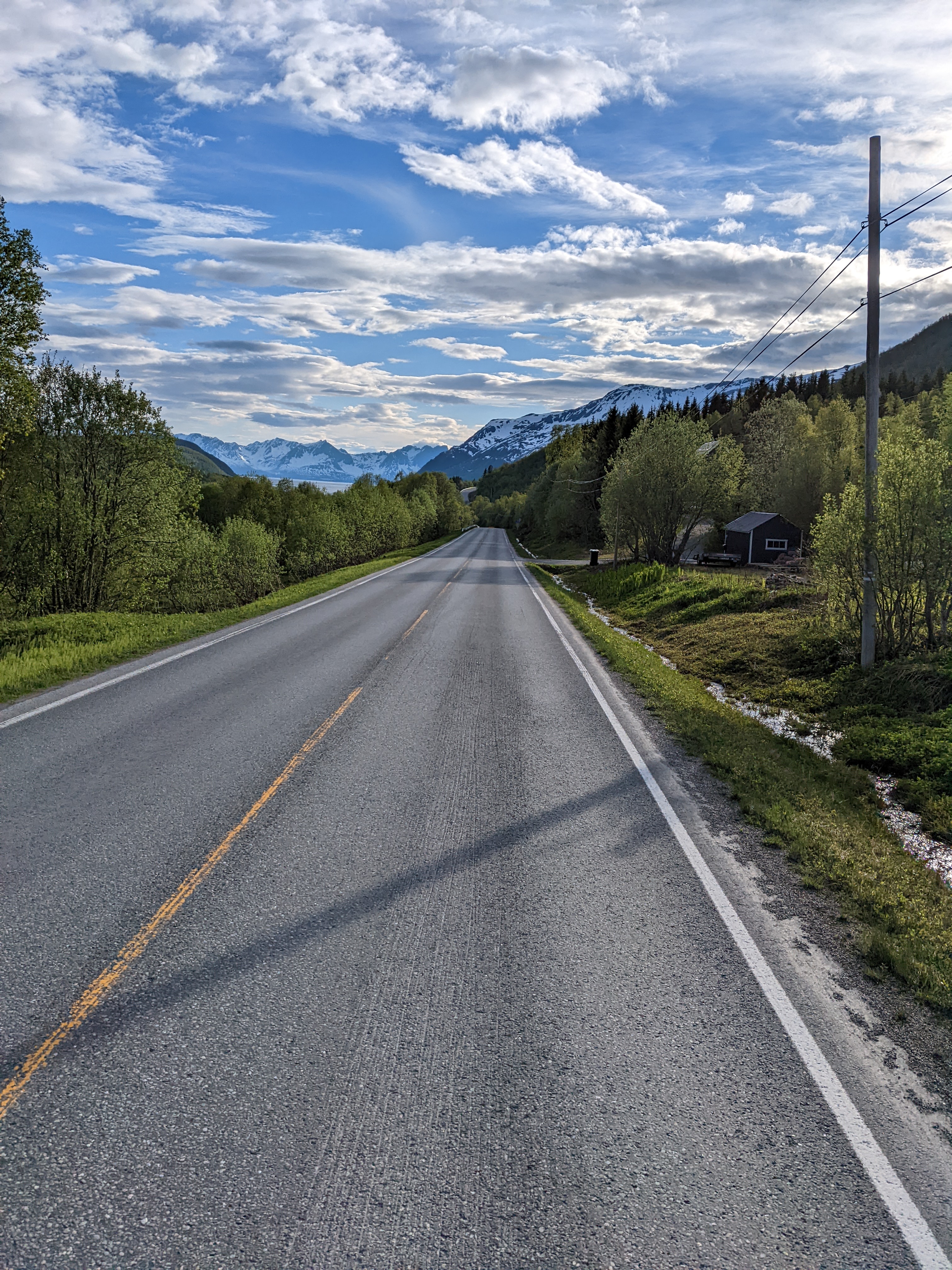
It’s hard to imagine growing in the arctic, let alone in a low pass tucked between snowy peaks. Summer’s coming here, too, though, especially on the west side of the peaks.
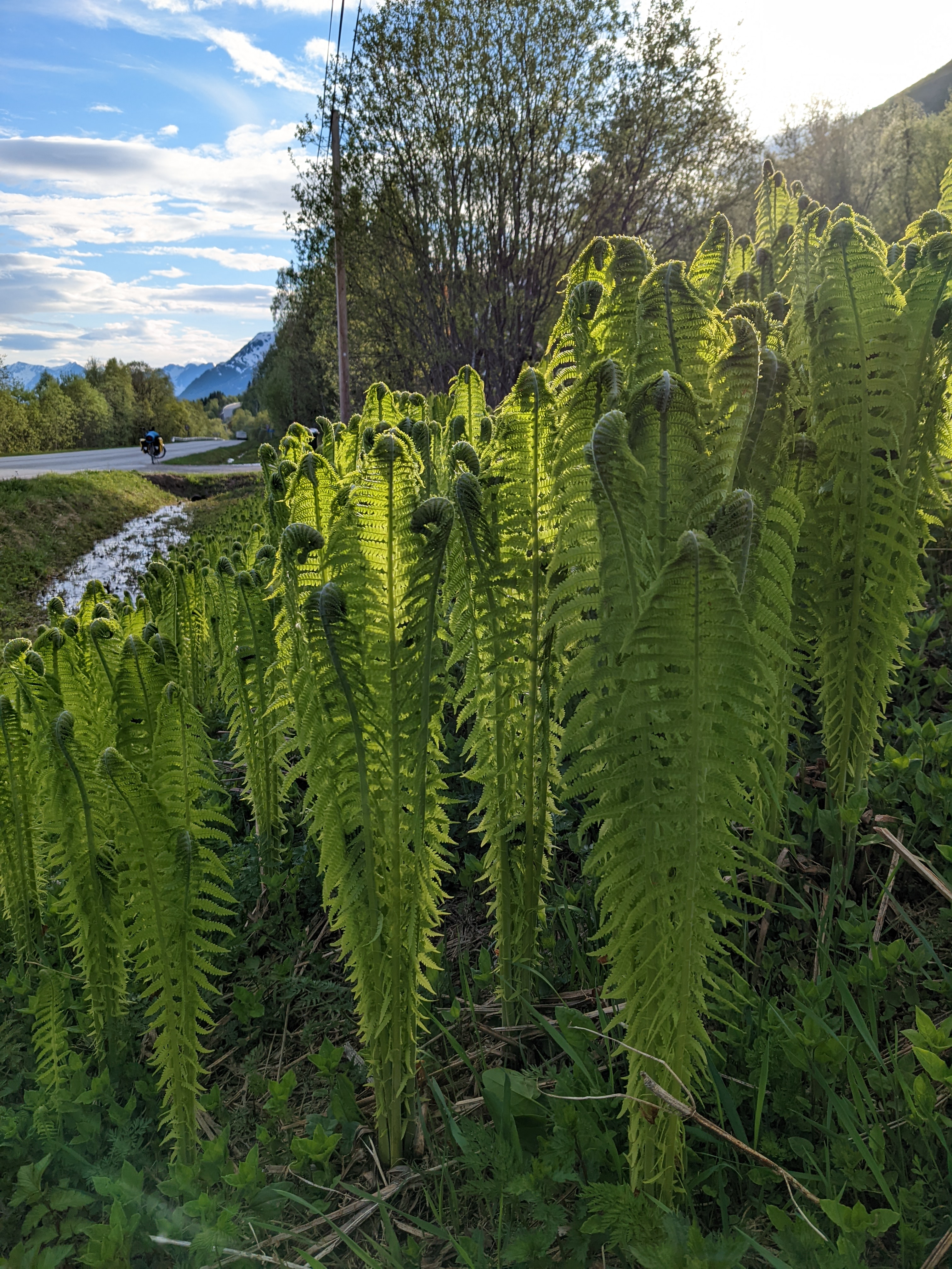
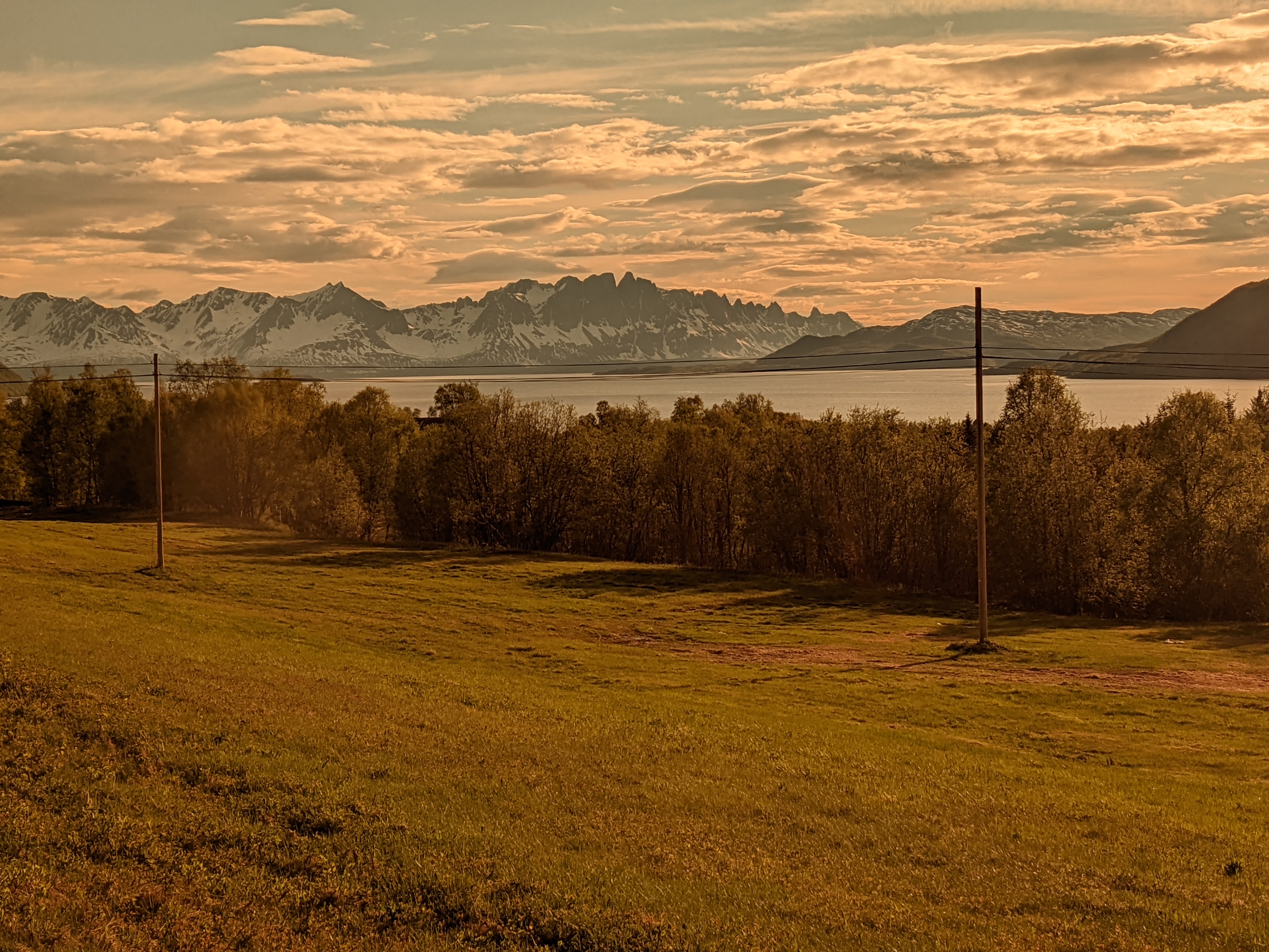
The ride down was fast and fun. Smooth pavement, gentle curves, and unbelievable views of the higher peaks across the water.
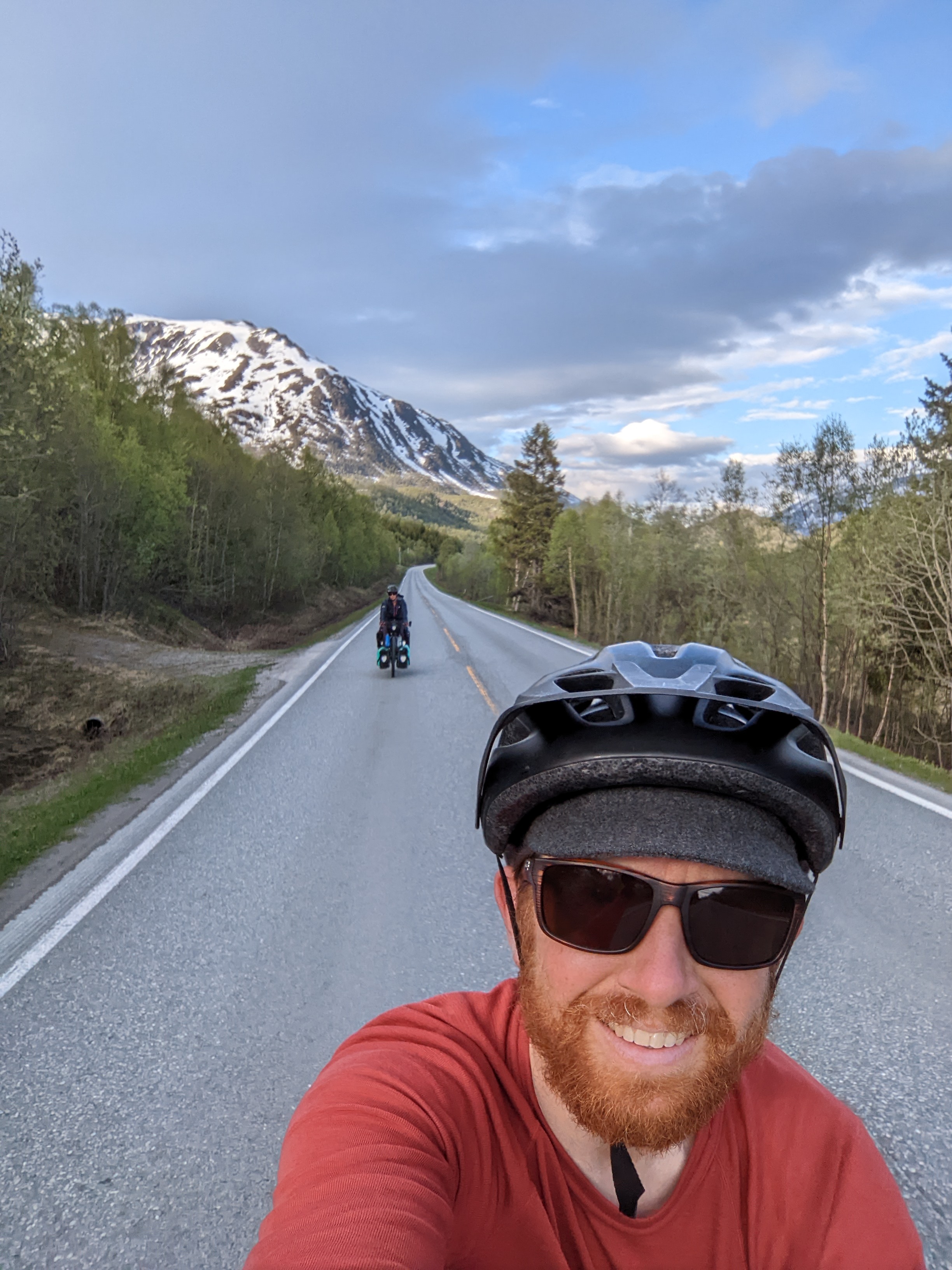
Pro tip: If you want to use your polarized sunglasses as a camera filter, buy some with lenses that are closer to a neutral grey.
Weird Candy and an Express Boat
At Burfjord we wandered around like lost puppies until we met Mia, who talked with us about her family and her life, and helped us make critical junk food selections before going to the dock (the kai) to try to find the ferry building again.
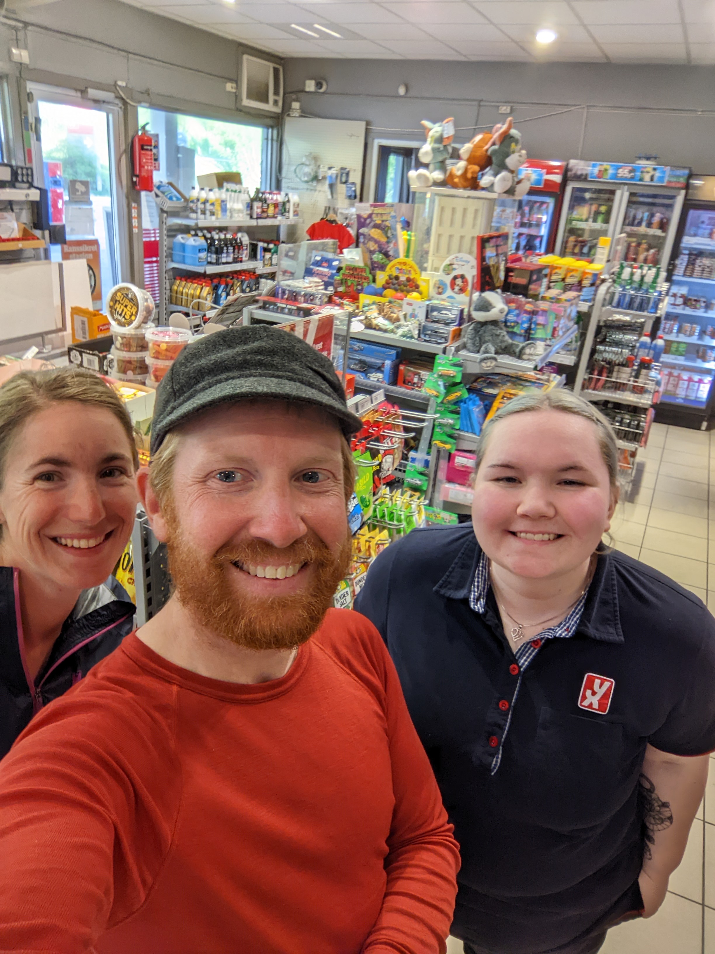
She was super nice, very helpful, and pulls a serious (and well-deserved) soft-serve.
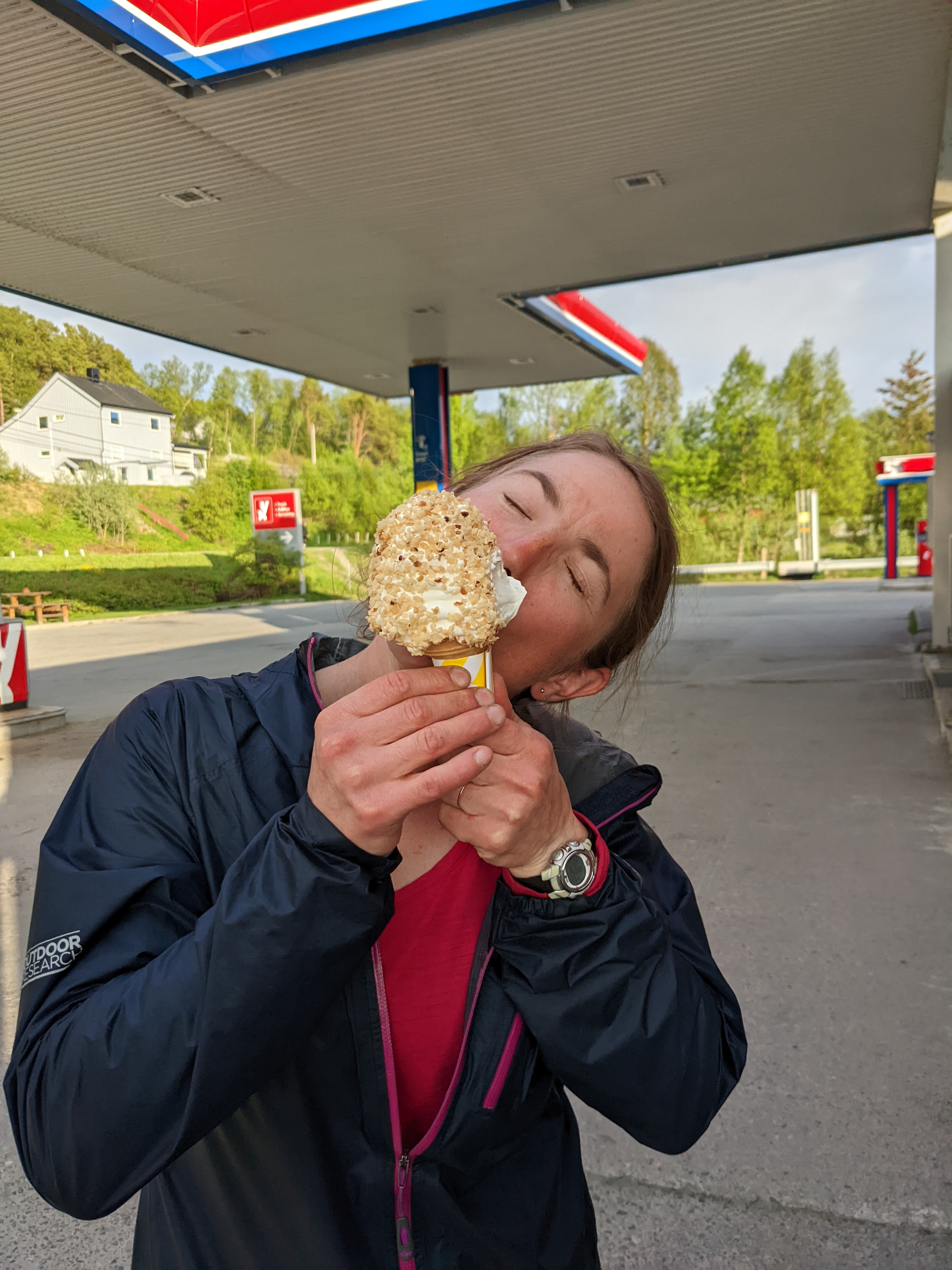
She made fun of my handwriting (which is fair), and explained that the ferry building at Burfjord Kai is a yellow house down by the water. Really not what I expected.
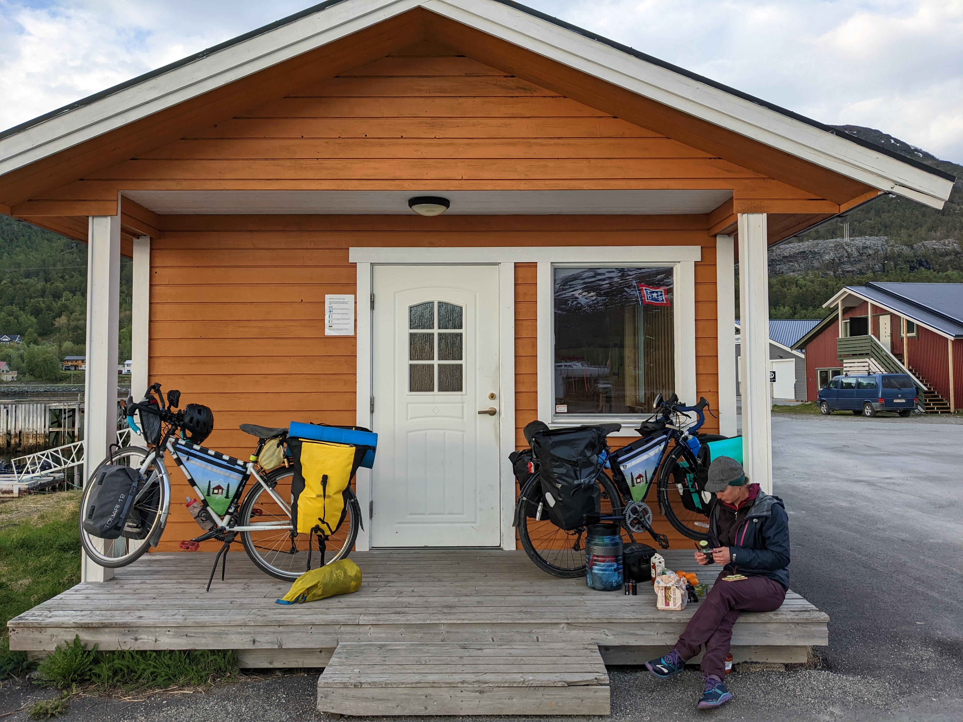
We charged our electronics, smashed through a quick cheese-and-cracker dinner, and unceremoniously piled ourselves onto the express boat when it arrived. This is not a car ferry, but a smaller boat for pedestrians and whatever farm equipment they can manage to lift aboard with the boat’s crane. There’s no process or formality - just get on when it arrives, pay your fare some time, and hold on tight because these things rip.
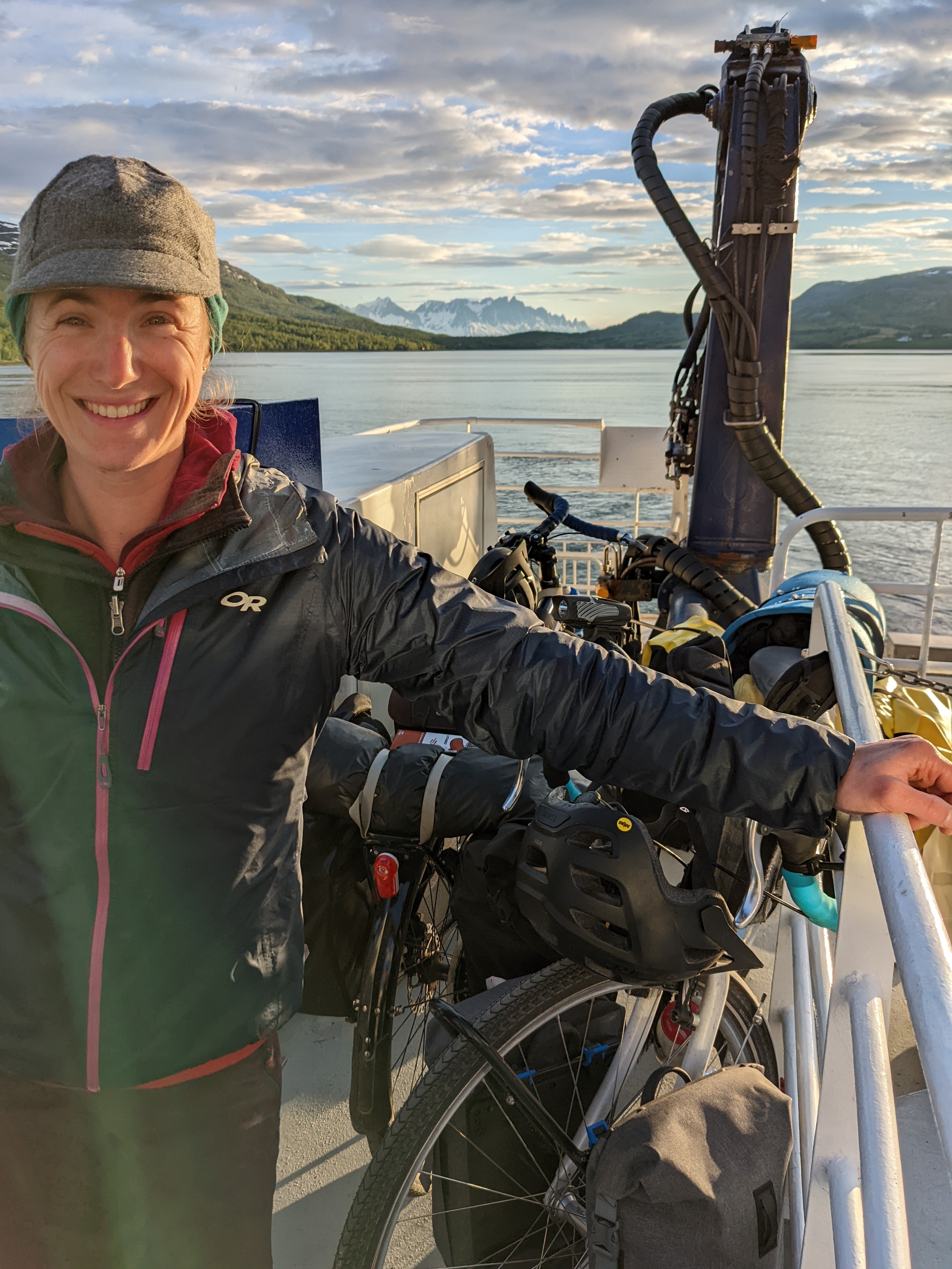 A leetle bit tired, maybe?
The price was reasonable, and the ride was so beautiful that we stood on the deck, inadequately dressed, for nearly the entire trip through Reinfjord and out to Skervøy.
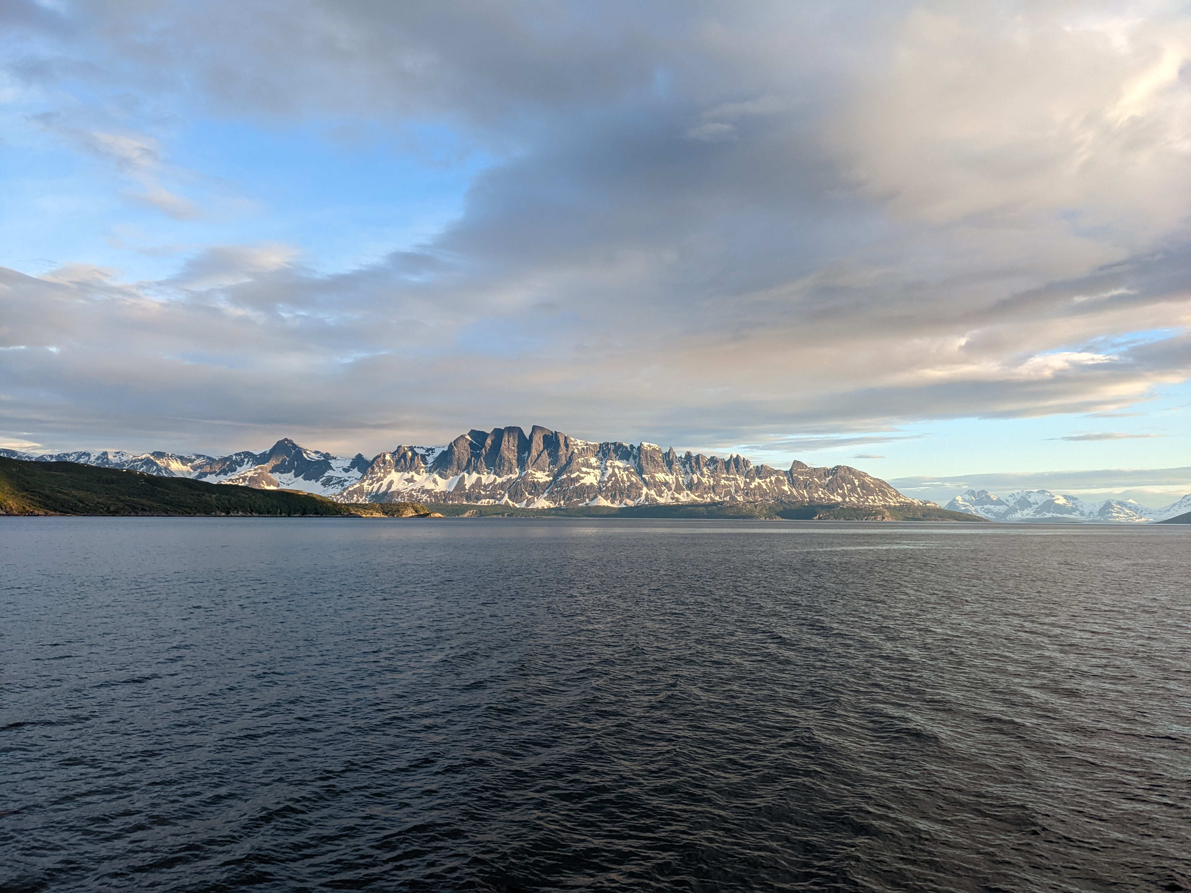
The wild peaks above the water aren’t well labeled on my mapping software, but they’re probably the northern extension of the Kvænangsfjellet. Facing them from the northeast is the small, town of Reinfjord. It sits down on the coast below some amazing glacial valleys, and is accessible only by boat.
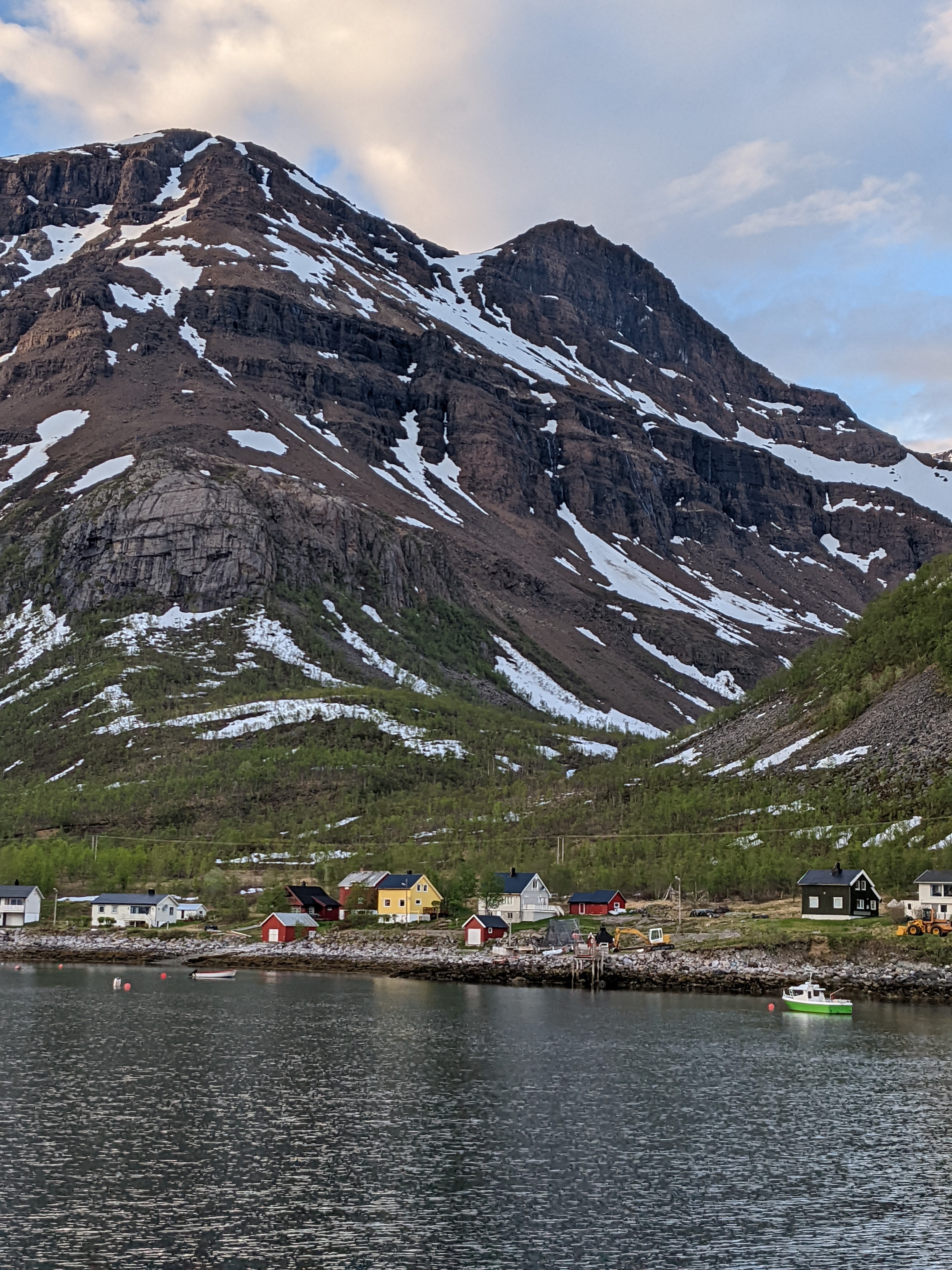
Leaving Reinfjord for the trip around the peninsula, the folded rock of this island (Haukøya?) is stunning. The earth seems always to be front and center here.
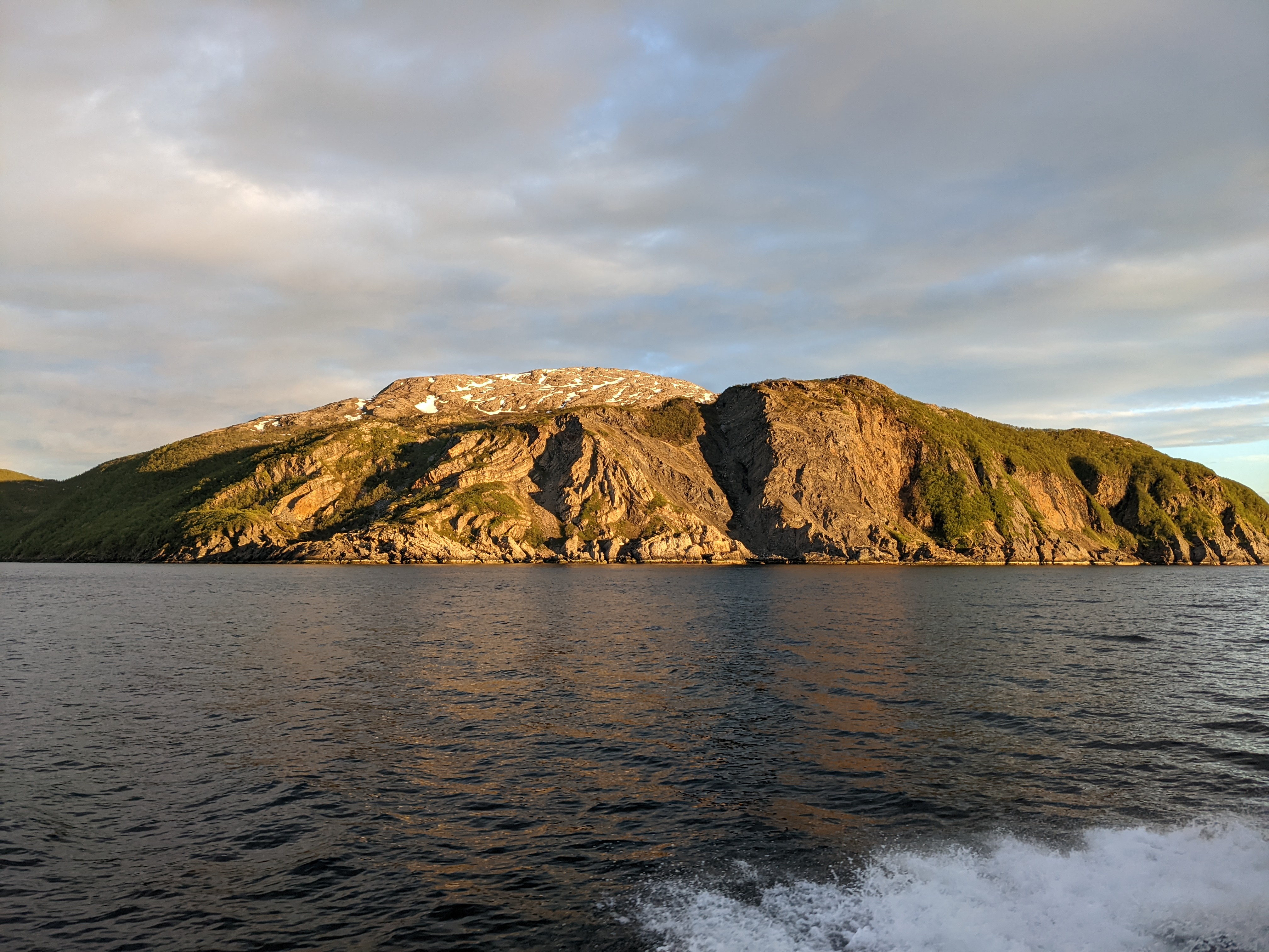
Tada!
By 23:30 we were ashore in Skervøy and exhausted. My body temperature had tanked and it took most of the steep final climb of the day for me to warm up enough to think straight. As wrung out as we were, finding a tent site was tough. A dry-enough rectangle of moss near the edge of a peat marsh did the job surprisingly well.
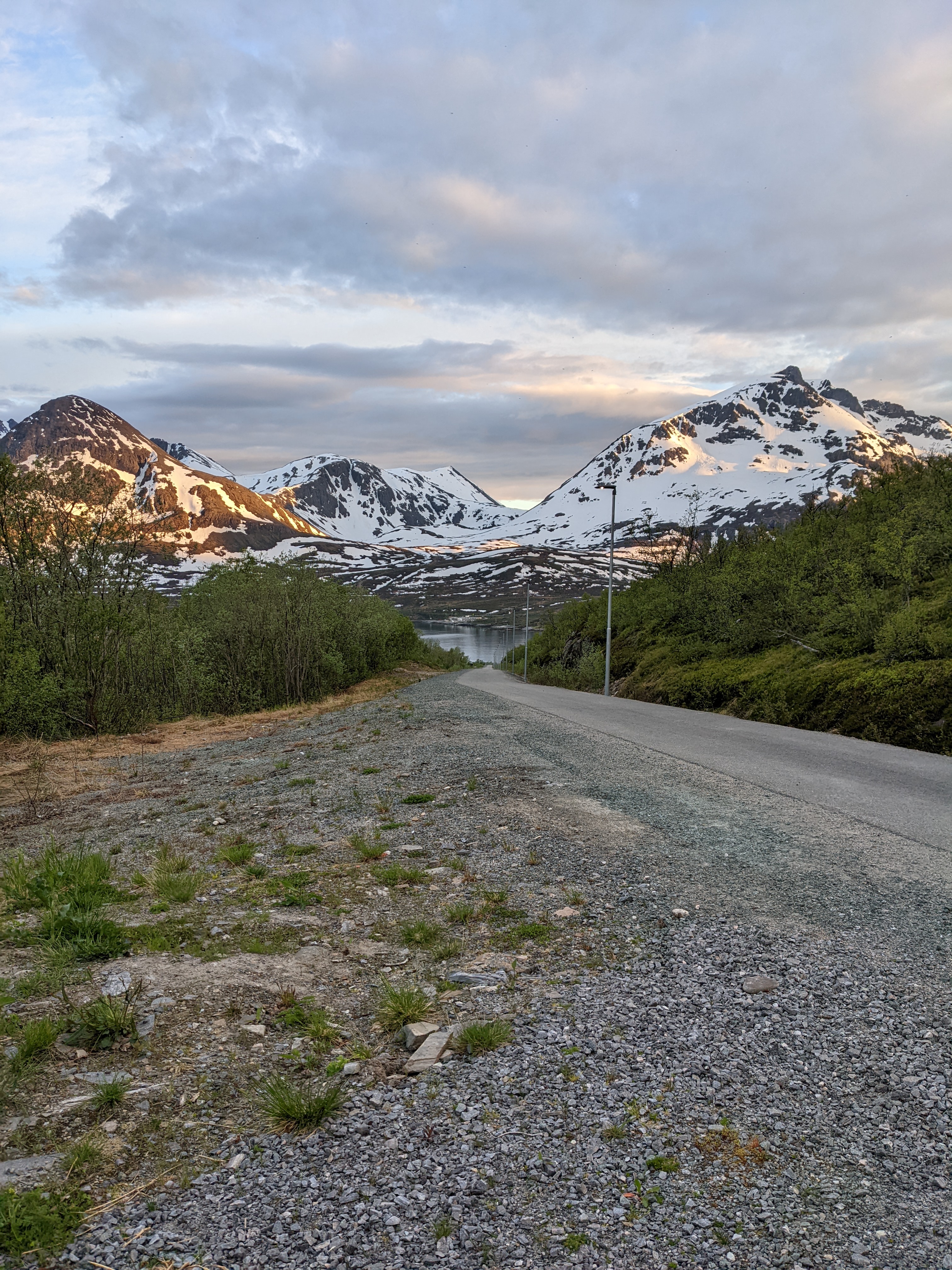
The view toward our route forward in the southwest was impressive. The view back the way we came showed us the back side of the toothsome peaks we’d stared at from the boat.
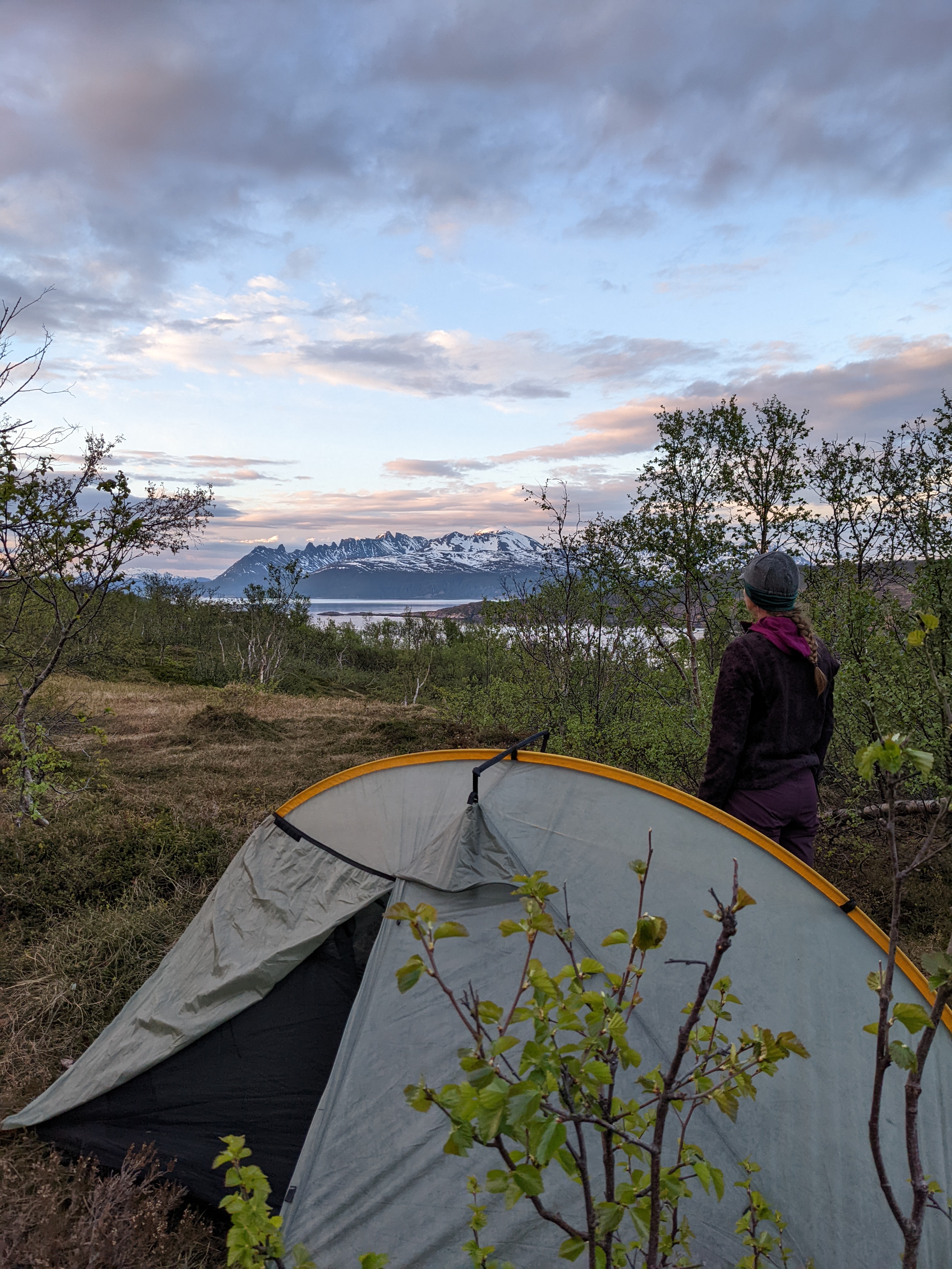
Not too shabby, as sleeping swamps go.
New Friends
- hare. they’re big, like large snowshoe hares
- dead fox. fox tails are weirdly heavy.
- tunnels
- express boats
- Florian from Germany
- Mia from Burfjord
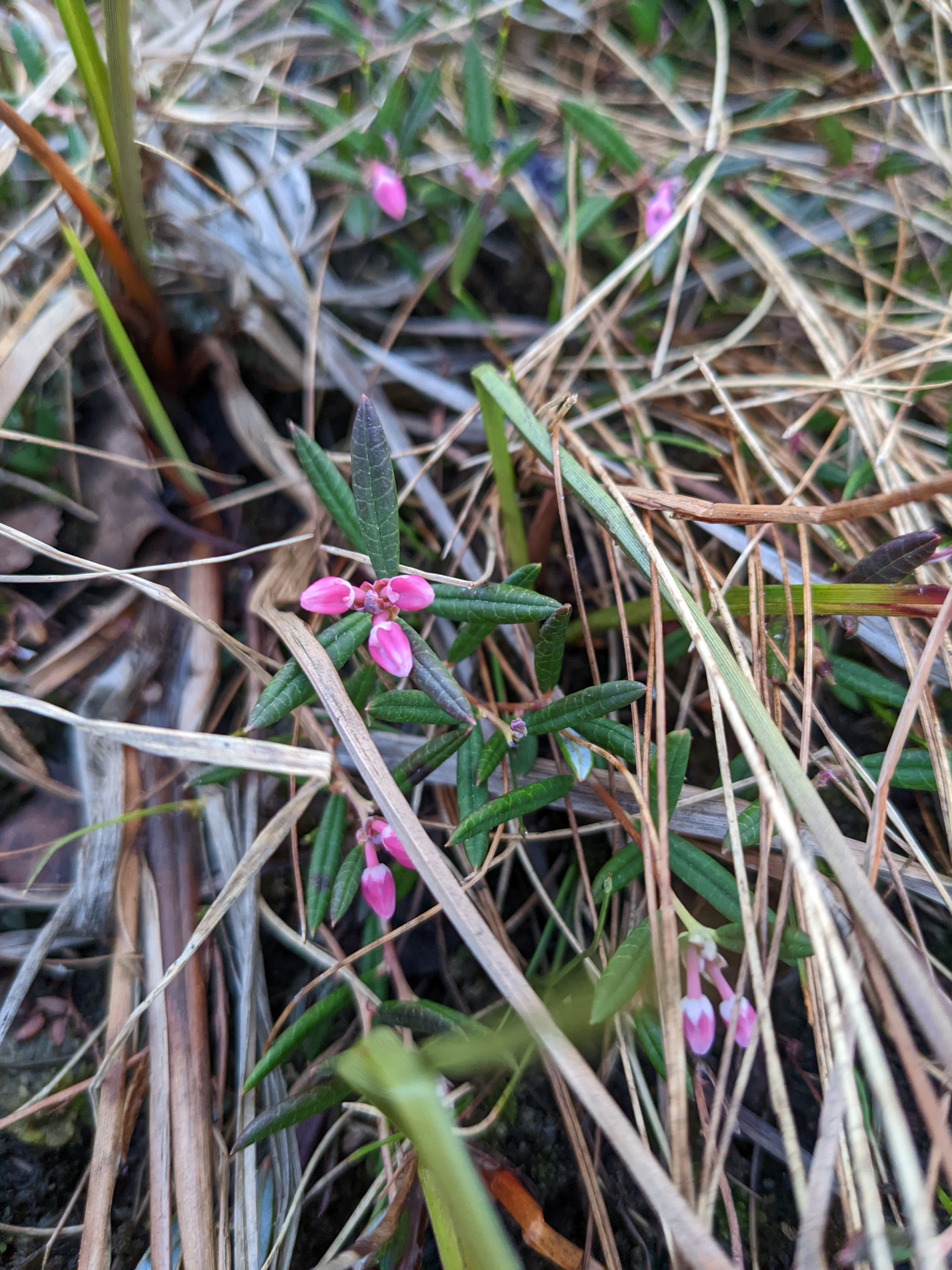
- lots of new flower friends, including cotton-grass, some other sedge-things, and rhododendron
